Neudorf, Saskatchewan
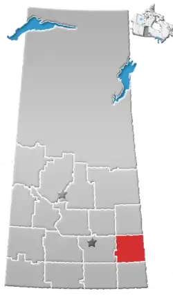
Neudorf (2016 population: 263) is a village in the Canadian province of Saskatchewan within the Rural Municipality of McLeod No. 185 and Census Division No. 5. It is on Highway 22 east of Lemberg, and Abernethy, and west of Killaly.
Neudorf, Saskatchewan | |
|---|---|
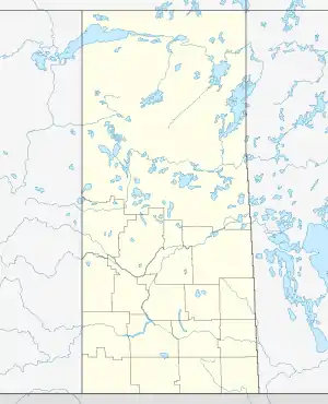
 Location of Neudorf in Saskatchewan  Neudorf, Saskatchewan (Canada) | |
| Coordinates: 50.709722°N 103.014167°W | |
| Country | Canada |
| Province | Saskatchewan |
| Region | Southwest Saskatchewan |
| Rural Municipality | McLeod No. 185 |
| Post Office Established | July 1, 1895 |
| Postal code | S0A 2T0 |
| Area code(s) | 306 |
| Highways | Highway 22 |
| Website | Village of Neudorf Archived 2012-03-31 at the Wayback Machine |
| [1] | |
The community was established prior to the arrival of the Canadian Pacific Railway; when it arrived the community was designated a divisional point, leading to a population boom.[2]
History
Neudorf incorporated as a village on April 25, 1905.[3]
Demographics
In the 2016 Census of Population conducted by Statistics Canada, the Village of Neudorf recorded a population of 263 living in 138 of its 167 total private dwellings, a -3.4% change from its 2011 population of 272. With a land area of 2.05 km2 (0.79 sq mi), it had a population density of 128.3/km2 (332.3/sq mi) in 2016.[6]
In the 2011 Census of Population, the Village of Neudorf recorded a population of 272, a -3.2% change from its 2006 population of 281. With a land area of 2.05 km2 (0.79 sq mi), it had a population density of 132.7/km2 (343.6/sq mi) in 2011.[7]
Notables
- Dick Assman - Petro-Canada employee, known for appearing on the Late Show with David Letterman
- Doreen Kimura - Professor Simon Fraser University, winner of the Kistler Prize
- Ed Litzenberger - NHL hockey player
- Brian Propp - NHL hockey player
- Percy Saltzman - First English-speaking Weatherman in Canada
- Jarret Stoll - NHL hockey player
- Henry Taube - Won the Nobel Prize in Chemistry
References
- National Archives, Archivia Net, Post Offices and Postmasters, retrieved 2011-08-21
- "Our History". Village of Neudorf. Retrieved 2011-08-21.
- "Urban Municipality Incorporations". Saskatchewan Ministry of Government Relations. Archived from the original on October 15, 2014. Retrieved June 1, 2020.
- "Saskatchewan Census Population" (PDF). Saskatchewan Bureau of Statistics. Archived from the original (PDF) on September 24, 2015. Retrieved May 31, 2020.
- "Saskatchewan Census Population". Saskatchewan Bureau of Statistics. Retrieved May 31, 2020.
- "Population and dwelling counts, for Canada, provinces and territories, and census subdivisions (municipalities), 2016 and 2011 censuses – 100% data (Saskatchewan)". Statistics Canada. February 8, 2017. Retrieved May 30, 2020.
- "Population and dwelling counts, for Canada, provinces and territories, and census subdivisions (municipalities), 2011 and 2006 censuses (Saskatchewan)". Statistics Canada. June 3, 2019. Retrieved May 30, 2020.
| North West: Melville | North: | North East: |
| West: Lemberg | Neudorf | East: Killaly |
| South West: Wolseley | South: Grenfell | South East: |
