Épaignes
Épaignes is a commune in the Eure department in northern France.
Épaignes | |
|---|---|
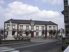 Town hall | |
.svg.png.webp) Coat of arms | |
Location of Épaignes 
| |
 Épaignes  Épaignes | |
| Coordinates: 49°16′49″N 0°26′28″E | |
| Country | France |
| Region | Normandy |
| Department | Eure |
| Arrondissement | Bernay |
| Canton | Beuzeville |
| Intercommunality | Lieuvin Pays d'Auge |
| Government | |
| • Mayor (2020–2026) | Marie-Paule Leblanc |
| Area 1 | 26.1 km2 (10.1 sq mi) |
| Population (2017-01-01)[1] | 1,617 |
| • Density | 62/km2 (160/sq mi) |
| Time zone | UTC+01:00 (CET) |
| • Summer (DST) | UTC+02:00 (CEST) |
| INSEE/Postal code | 27218 /27260 |
| Elevation | 84–181 m (276–594 ft) (avg. 164 m or 538 ft) |
| 1 French Land Register data, which excludes lakes, ponds, glaciers > 1 km2 (0.386 sq mi or 247 acres) and river estuaries. | |
Population
|
|
See also
References
- "Populations légales 2017". INSEE. Retrieved 6 January 2020.
| Wikimedia Commons has media related to Épaignes. |
| Authority control |
|---|
This article is issued from Wikipedia. The text is licensed under Creative Commons - Attribution - Sharealike. Additional terms may apply for the media files.