Routot
Routot is a commune in the Eure department in north-western France.
Routot | |
|---|---|
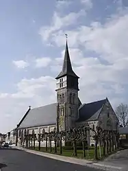 The church in Routot | |
.svg.png.webp) Coat of arms | |
Location of Routot 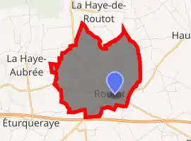
| |
 Routot  Routot | |
| Coordinates: 49°22′44″N 0°44′08″E | |
| Country | France |
| Region | Normandy |
| Department | Eure |
| Arrondissement | Bernay |
| Canton | Bourg-Achard |
| Government | |
| • Mayor (2014–2020) | Bernard Vincent |
| Area 1 | 6.61 km2 (2.55 sq mi) |
| Population (2017-01-01)[1] | 1,600 |
| • Density | 240/km2 (630/sq mi) |
| Time zone | UTC+01:00 (CET) |
| • Summer (DST) | UTC+02:00 (CEST) |
| INSEE/Postal code | 27500 /27350 |
| Elevation | 91–142 m (299–466 ft) (avg. 140 m or 460 ft) |
| 1 French Land Register data, which excludes lakes, ponds, glaciers > 1 km2 (0.386 sq mi or 247 acres) and river estuaries. | |
Population
|
|
See also
References
- "Populations légales 2017". INSEE. Retrieved 6 January 2020.
| Wikimedia Commons has media related to Routot. |
| Authority control |
|---|
This article is issued from Wikipedia. The text is licensed under Creative Commons - Attribution - Sharealike. Additional terms may apply for the media files.
