Diversion Dam and Deer Flat Embankments
The Diversion Dam and Deer Flat Embankments is the collective name given in the U.S. National Register of Historic Places program to a set of three dams near Boise and Nampa, Idaho. The dams are components of the United States Bureau of Reclamation's Boise Project, and were designed to provide irrigation water to 500,000 acres (200,000 ha) of Idaho farmland in conjunction with the New York Irrigation District (New York Canal). The Diversion Dam also provides hydroelectric generation capacity.[1] The dams were listed on the National Register in 1976.[2]
Diversion Dam and Deer Flat Embankments | |
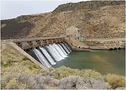 Diversion Dam | |
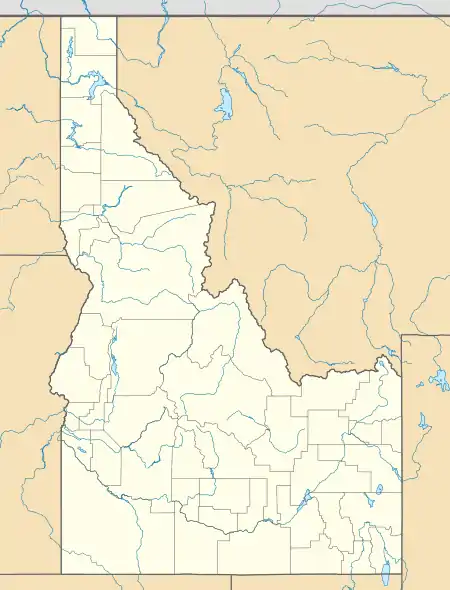  | |
| Nearest city | Boise, Idaho (Diversion Dam) Nampa, Idaho (Deer Flat Embankments) |
|---|---|
| Coordinates | 43°32′16″N 116°05′36″W (Diversion Dam) 43°34′26″N 116°42′23″W (Deer Flat Embankments) |
| Area | Approx. 65 acres (26 ha)[1] |
| Built | 1906–1912[1] |
| NRHP reference No. | 76000666 |
| Added to NRHP | March 15, 1976 |
The three dams that make up the Diversion Dam and Deer Flat Embankments are:
- Boise River Diversion Dam
- Deer Flat Upper Embankment
- Deer Flat Lower Embankment
See also
References
- Wells, Merle (February 6, 1976), National Register of Historic Places Inventory — Nomination Form: Diversion Dam and Deer Flat Embankments (PDF), retrieved March 11, 2015.
- "Department of the Interior, Heritage Conservation and Recreation Service: National Register of Historic Places; Annual Listing of Historic Properties", 44 FR 7416 at 7459 (February 6, 1979).
External links
 Media related to Diversion Dam and Deer Flat Embankments at Wikimedia Commons
| Topics | |
|---|---|
| Lists by state |
|
| Lists by insular areas | |
| Lists by associated state | |
| Other areas | |
| Related | |
| |
This article is issued from Wikipedia. The text is licensed under Creative Commons - Attribution - Sharealike. Additional terms may apply for the media files.