List of airports in Nova Scotia
This is a list of airports in Nova Scotia. It includes all Nav Canada certified and registered water and land airports, aerodromes and heliports in the Canadian province of Nova Scotia.[1][2] Airports names in italics are part of the National Airports System.[3]
Nova Scotia
List of airports and heliports
.jpg.webp)
JA Douglas McCurdy Sydney Airport
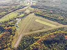
Stanley Airport
.jpg.webp)
CFB Shearwater

Sable Island Aerodrome

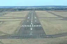
Allan J. MacEachen Port Hawkesbury Airport
.jpg.webp)
Halifax Stanfield International Airport
.jpg.webp)
CFB Greenwood
Debert Airport
The list is sorted by the name of the community served, click the sort buttons in the table header to switch listing order.
Defunct airports
References
- Canada Flight Supplement. Effective 0901Z 16 July 2020 to 0901Z 10 September 2020.
- Nav Canada's Water Aerodrome Supplement. Effective 0901Z 26 March 2020 to 0901Z 22 April 2021.
- National Airports System
| By name | |
|---|---|
| By location indicator | |
| By province/territory | |
| By area | |
| National Airports System | |
| Related | |
| |
This article is issued from Wikipedia. The text is licensed under Creative Commons - Attribution - Sharealike. Additional terms may apply for the media files.