List of airports in Nunavut
This is a list of airports in Nunavut. It includes all Nav Canada certified and registered water and land airports, aerodromes and heliports in the Canadian territory of Nunavut.[1][2] Airports names in italics are part of the National Airports System.[3]
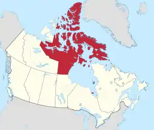
Nunavut
List of airports and heliports
Pangnirtung Airport
Kugluktuk Airport
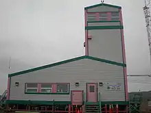
Kugaaruk Airport
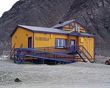
Grise Fiord Airport
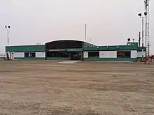
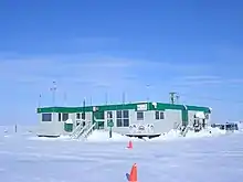
Cambridge Bay Airport

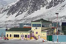
Arctic Bay Airport
The list is sorted by the name of the community served, click the sort buttons in the table header to switch listing order.
Defunct airports
| Community | Airport name | ICAO | TC LID | IATA | Coordinates |
|---|---|---|---|---|---|
| Doris Lake | Doris Lake Aerodrome | CDL7 | JOJ | 68°07′31″N 106°35′07″W | |
| Iqaluit | Frobisher Bay Air Base | 63°45′21″N 068°32′23″W | |||
| Lupin Mine | Lupin Airport | CYWO | YWO | 65°45′33″N 111°15′00″W | |
| Nanisivik | Nanisivik Airport | CYSR | YSR | 72°58′56″N 084°36′49″W |
References
- Canada Flight Supplement. Effective 0901Z 16 July 2020 to 0901Z 10 September 2020.
- Nav Canada's Water Aerodrome Supplement. Effective 0901Z 26 March 2020 to 0901Z 22 April 2021.
- National Airports System
| By name | |
|---|---|
| By location indicator | |
| By province/territory | |
| By area | |
| National Airports System | |
| Related | |
| |
This article is issued from Wikipedia. The text is licensed under Creative Commons - Attribution - Sharealike. Additional terms may apply for the media files.