List of airports in Manitoba
This is a list of airports in Manitoba. It includes all Nav Canada certified and registered water and land airports, aerodromes and heliports in the Canadian province of Manitoba.[1][2] Airports names in italics are part of the National Airports System.[3]
Manitoba
List of airports and heliports
The list is sorted by the name of the community served, click the sort buttons in the table header to switch listing order.
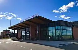
Brandon Municipal Airport
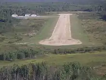
Bloodvein River Airport

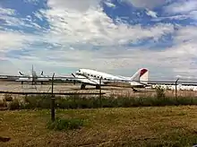
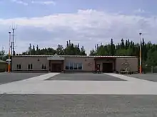
Churchill Airport
.jpg.webp)
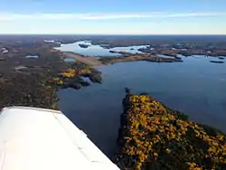
Gunisao Lake Airport
Gimli Industrial Park Airport
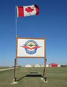
Flin Flon Airport
Island Lake Airport
Winnipeg/Lyncrest Airport
Red Sucker Lake Airport

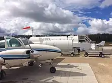
Portage la Prairie/Southport Airport
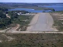
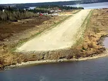
Pine Dock Airport
St. Theresa Point Airport
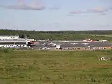
Thompson Airport

Winnipeg James Armstrong Richardson International Airport
Defunct airports
References
- Canada Flight Supplement. Effective 0901Z 16 July 2020 to 0901Z 10 September 2020.
- Nav Canada's Water Aerodrome Supplement. Effective 0901Z 26 March 2020 to 0901Z 22 April 2021.
- National Airports System
| By name | |
|---|---|
| By location indicator | |
| By province/territory | |
| By area | |
| National Airports System | |
| Related | |
| |
This article is issued from Wikipedia. The text is licensed under Creative Commons - Attribution - Sharealike. Additional terms may apply for the media files.