List of airports in Saskatchewan
This is a list of airports in Saskatchewan. It includes all Nav Canada certified and registered water and land airports, aerodromes and heliports in the Canadian province of Saskatchewan.[1][2] Airports names in italics are part of the National Airports System.[3]
Saskatchewan
List of airports and heliports
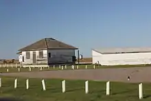
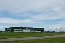
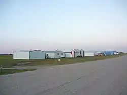
Luseland Airport
_Airport.JPG.webp)
La Ronge (Barber Field) Airport

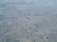
Humboldt Airport

North Battleford Airport
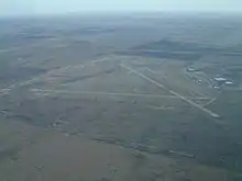
Melville Municipal Airport
Prince Albert (Glass Field) Airport
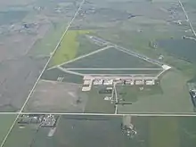
Yorkton Municipal Airport
Weyburn Airport
Swift Current Airport
Stony Rapids Airport
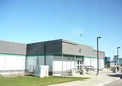
Saskatoon John G. Diefenbaker International Airport
Saskatoon/Banga International Air Aerodrome
.jpg.webp)
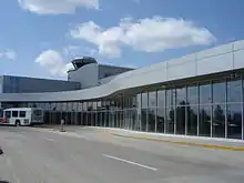
Regina International Airport
The list is sorted by the name of the community served, click the sort buttons in the table header to switch listing order.
Defunct airports
References
- Canada Flight Supplement. Effective 0901Z 16 July 2020 to 0901Z 10 September 2020.
- Nav Canada's Water Aerodrome Supplement. Effective 0901Z 26 March 2020 to 0901Z 22 April 2021.
- National Airports System
| By name | |
|---|---|
| By location indicator | |
| By province/territory | |
| By area | |
| National Airports System | |
| Related | |
| |
This article is issued from Wikipedia. The text is licensed under Creative Commons - Attribution - Sharealike. Additional terms may apply for the media files.