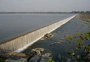
Mid Manair Dam
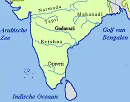
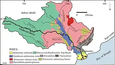
Mid Manair Dam (Telugu:మధ్య మానేరు డ్యామ్) is a major irrigation project under construction across the Manair River, at Manwada Village, Boinpalli Mandal, Rajanna Sircilla district, Telangana.[2] It has a capacity of 25.87 tmcft with 25 radial gates. It has a capacity to irrigate 2,00,000 acres. It is now part of the prestigious Kaleshwaram project from which 2-3 tmcft water will be lifted and router to Mid Manair Dam. The project was completed in April 2018.
| Mid Manair Dam | |
|---|---|
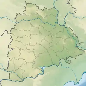 Location of Mid Manair Dam in Telangana 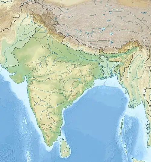 Mid Manair Dam (India) | |
| Official name | మధ్య మానేరు డ్యామ్ Mid Manair Dam |
| Location | Manwada Village, Rajanna Sircilla district, Telangana, India |
| Coordinates | 18°23′34″N 78°57′40″E |
| Status | Under Construction |
| Construction began | 2005 |
| Dam and spillways | |
| Impounds | Manair River and SRSP Flood Flow Canal |
| Height | 45 metres (148 ft) from river level |
| Length | 388 metres (1,273 ft)[1] |
| Reservoir | |
| Creates | Mid Manair Reservoir |
| Total capacity | 25.873 Tmcft |
| Active capacity | 21~Tmcft |
History
The balancing reservoir initiated as part of SRSP stage-II for which the foundation stone was laid by the former Prime Minister P. V. Narasimha Rao in 1991. The surplus water from Sriram Sagar Project flow through SRSP Flood Flow Canal (SRSP FFC) into Mid Manair Dam apart from Manair River water. Once the dam reached to full capacity, water can be released into Lower Manair Dam, a major balancing reservoir at Karimnagar city with 24Tmcft Gross Capacity.
Dam construction was started in 2004-05 as part of Jalayagnam, but was delayed due to the several political reasons.
130 km long Flood Flow Canal construction work was completed till Mid Manair Dam. As Dam is under construction, the released water from Flood Flow Canal head regulator would fill Lower Manair Dam currently.
For the project completion, it took 10 years to complete 50% work, and 10 months to complete the rest 50% in April 2018. The final cost for completing the project was ₹2050 crores.
The Reservoir
The Gross Capacity of the reservoir is 25.873 Tmcft. The Left Bank Canal 22 km to irrigate 9,500 acres. The Right Bank Canal 64 km to irrigate 90,500 acres. By June 2018, the Kaleshwaram project will feed Mid-Manair Reservoir with the Godavari water and stabilise the ayacut under existing projects.
Earth dam breach
On 25 September 2016, flood water flowed over the incomplete earth dam of the project and breached the earth dam inundating the downstream areas. Few villages were evacuated to save from water inundation.[3] It was planned to store 3 tmcft water in the project to facilitate water supply under SRSP (stage-II) and Kaleshwaram Lift Irrigation Project. It is not possible to supply water from the project till the earth dam is reconstructed. The project planning and its execution is blamed for the dam breach which has not constructed the earth dam to adequate level in comparison with the adjacent concrete spill way to safely pass the normal flood water without over topping the earth dam.
Submerged Villages (16)
- Anupuram (Vemulawada)
- Arepalli (Vemulawada)
- Kodmunja (Vemulawada)
- Rudravaram (Vemulawada)
- Sankepalli (Vemulawada)
- Kodurupaka (Boinapalli)
- Manwada (Boinapalli)
- Neelojipalli (Boinapalli)
- Sabhashpalli (Boinapalli)
- Varadavelli (Boinapalli)
- Cheerlavancha (Thangalapally)
- Chintalthana (Thangalapally)
- Gurravanipalli (Illanthakunta)
- Kandikatkur (Illanthakunta)
- Obulapuram (Illanthakunta)
See also
References
- "India: National Register of Large Dams 2012" (PDF). Central Water Commission. Archived from the original (PDF) on 20 August 2014. Retrieved 26 August 2014.
- http://www.thehindu.com/news/cities/Hyderabad/crest-gates-installed-on-mmd/article23447700.ece
- "Mid Manair earth dam breaches". Retrieved 26 September 2016.
- "Water released into FFC - The Hindu". thehindu.com. Retrieved 29 August 2014.
- "Brief Note on flood Flow Canal Project from S". irrigation.cgg.gov.in. Archived from the original on 29 August 2014. Retrieved 29 August 2014.
- "Mid Manier Dam Works Starts Again | V6 News Channel Live". v6news.tv. Retrieved 29 August 2014.