DePrato Mounds
Deprato Mounds (16 CO 37), also known as the Ferriday Mounds, is a multi-mound archaeological site located in Concordia Parish, Louisiana. The site shows occupation from the Troyville period to the Middle Coles Creek period (400 to 800 CE).[3] The largest mound at the site has been dated by radiocarbon analysis and decorated pottery to about 600 CE.[4]
 | |
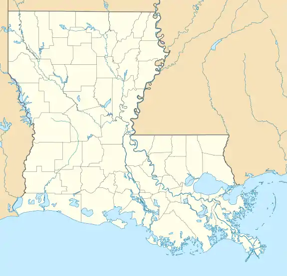 Location within Louisiana today | |
| Location | Ferriday, Louisiana, Concordia Parish, Louisiana, |
|---|---|
| Region | Concordia Parish, Louisiana |
| Coordinates | 31°37′35.29″N 91°34′35.23″W[lower-alpha 1] |
| History | |
| Founded | 400 CE |
| Abandoned | 800 CE |
| Cultures | Troyville to Middle Coles Creek culture |
| Site notes | |
| Architecture | |
| Architectural details | Platform mounds |
| Responsible body: The Archaeological Conservancy | |
DePrato Mounds | |
| Location | Address restricted[1] |
|---|---|
| Nearest city | Ferriday, Louisiana |
| NRHP reference No. | 98001258[2] |
| Added to NRHP | October 22, 1998 |
The site was added to the National Register of Historic Places on October 22, 1998.[2]
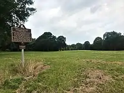
Description
The site is a complex of five platform mounds and a central plaza area taking up about four acres of land to the east of the confluence of Black Bayou and Bayou Cocodrie. The mounds now appear smaller than they did in the past because extensive flooding in the centuries since their construction has deposited 3 feet (0.91 m) of sediment over the base of the mounds and the plaza.[4]
The largest remaining mound, Mound C, has a base measuring 82 feet (25 m) by 66 feet (20 m) and is about 6 feet (1.8 m) in height. Mound D was demolished to provide fill for a highway construction project. Mound E was built on as the site of a private house. During excavations, human remains were found in three of the mounds.[4] The site has been purchased by The Archaeological Conservancy, a nonprofit organization that plans to protect the site from future degradation.[5]
See also
References
- Federal and state laws and practices restrict general public access to information regarding the specific location of this resource. In some cases, this is to protect archeological sites from vandalism, while in other cases it is restricted at the request of the owner. See: Knoerl, John; Miller, Diane; Shrimpton, Rebecca H. (1990), Guidelines for Restricting Information about Historic and Prehistoric Resources, National Register Bulletin, National Park Service, U.S. Department of the Interior, OCLC 20706997.
- "National Register Information System". National Register of Historic Places. National Park Service. July 9, 2010.
- "Southeast Region : Deprato Mounds". The Archaeological Conservancy. Archived from the original on 2011-09-11. Retrieved 2011-10-21.
- "Indian Mounds of Northeast Louisiana : Deprato Mounds". Archived from the original on 2012-12-24. Retrieved 2011-10-21.
- "Jonesville/Troyville featured nationally in American Archaeology Magazine". Concordia Sentinel. Retrieved 2011-10-21.
Notes
- Location refer to the historic marker along U.S. Highway 84
External links
| Baytown sites | 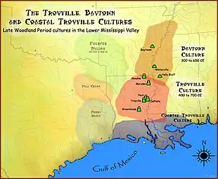 | |
|---|---|---|
| Troyville sites | ||
| Coles Creek sites |
|  |
|---|---|---|
| Coastal Coles Creek sites |
| |
| Plum Bayou sites |
| |
Municipalities and communities of Concordia Parish, Louisiana, United States | ||
|---|---|---|
| Cities | 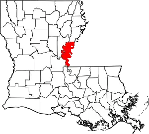 | |
| Towns | ||
| CDPs | ||
| Other unincorporated communities | ||
| ||