Ilihan
Ilihan is one of the 44 barangays of the municipality of Ubay, in the province of Bohol, Philippines.
Ilihan | |
|---|---|
 Seal | |
| Coordinates: 9°56′29″N 124°25′38″E | |
| Country | Philippines |
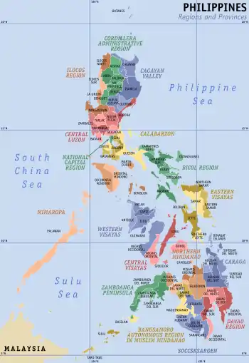
| Region | Central Visayas Region VII |
| Province | Bohol |
| District | 2nd District of Bohol |
| Municipality | Ubay |
| Urban District | I |
| Established | 1910 |
| Purok | 7 |
| Government | |
| • Type | Sangguniang Barangay |
| • Barangay Captain | Victorio Gatal |
| • Brgy Council | |
| Area | |
| • Total | 683 ha (1,688 acres) |
| Population | |
| • Total | 768 |
| • Density | 110/km2 (290/sq mi) |
| • Voter (2013)[2] | 530 |
| Time zone | UTC+8 (PST) |
| ZIP code | 6315 |
| IDD : area code | +63 (0)38 |
| PSGC | 071246024 |
The barangay's total land area is 683 hectares (1,690 acres).[3] According to the 2015 census, it has a population of 768. [1]
Ilihan celebrates its annual fiesta on 15 May in honor of their patron saint.
Location
Located in the southern tip of the municipality, Ilihan is bounded to the north and east by San Pascual, to the west by Villa Teresita, and to the south by the municipality of Alicia. It is 18 km (11 mi) from the town center, Poblacion.
History
Hundreds of years ago, pygmies settled in the northeastern forest of Bohol. Beneath the forest, three caves can be found. Skulls, jars, beds, plates, and other early tools were once excavated from these caves. One of the unearthed bodies had a name of Okag, written on stone in Baybayin script. Larger portions of these caves are still inaccessible.[4] This is how Ilihan got its name: it means an inaccessible geological feature.[5]
Formerly Ilihan was a sitio of barangay San Pascual. It became a separate barrio in 1910.
Government
There are seven puroks overseen by the elected kagawads.
Economy
People in the barangay are mostly farmers who live by planting rice, camote, cassava, banana, and other vegetables. Some till agricultural smallholdings. Some of the population also weave mats, and produce palm oil and coconut products.
Facilities and Services
- Barangay Hall
- Barangay Health Center
- Barangay Market
- Day Care Center
- Elementary School
- Multi-purpose pavement
- 7 Purok Kiosks
References
- Census of Population (2015). "Region VII (Central Visayas)". Total Population by Province, City, Municipality and Barangay. PSA. Retrieved 20 June 2016.
- 2013 Barangay and Sangguniang Kabataan Election
- "Comprehensive Assessment of the Agricultural Extension System in the Philippines: Case Study of LGU Extension in Ubay, Bohol" (PDF). Philippine Institute for Development Studies. April 30, 2007. p. 127. Retrieved October 10, 2011.
- "Barangay Ilihan". Ubay Past and Present. The Bohol Provincial Library. October 30, 1990.
- "Ilihan Translation". Binisaya.Com. January 1, 2014. Retrieved October 26, 2014.
External links
Places adjacent to Ilihan | ||||||||||
|---|---|---|---|---|---|---|---|---|---|---|
| ||||||||||