Rural Municipality of Turtle River No. 469
The Rural Municipality of Turtle River No. 469 (2016 population: 344) is a rural municipality (RM) in the Canadian province of Saskatchewan within Census Division No. 17 and SARM Division No. 6.
Turtle River No. 469 | |
|---|---|
| Rural Municipality of Turtle River No. 469 | |
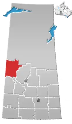
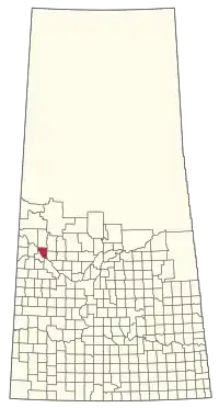 Location of the RM of Turtle River No. 469 in Saskatchewan | |
| Coordinates: 53.134°N 108.849°W[1] | |
| Country | Canada |
| Province | Saskatchewan |
| Census division | 17 |
| SARM division | 6 |
| Formed[2] | December 9, 1912 |
| Government | |
| • Reeve | Louis McCaffrey |
| • Governing body | RM of Turtle River No. 469 Council |
| • Administrator | Rebecca Carr |
| • Office location | Edam |
| Area (2016)[4] | |
| • Land | 664.44 km2 (256.54 sq mi) |
| Population (2016)[4] | |
| • Total | 344 |
| • Density | 0.5/km2 (1/sq mi) |
| Time zone | CST |
| • Summer (DST) | CST |
| Area code(s) | 306 and 639 |
| Website | Official website |
History
The RM of Turtle River No. 469 incorporated as a rural municipality on December 9, 1912.[2] The RM's name is taken from the Turtle River, which outlets from Turtle Lake and drains into the North Saskatchewan River near the Michaud Islands, across the river from Delmas.
Geography
Communities and localities
The following urban municipalities are surrounded by the RM.
The following unincorporated communities are within the RM.
- Localities
- Dulwich
- St. Hippolyte
- Vawn
Demographics
In the 2016 Census of Population conducted by Statistics Canada, the RM of Turtle River No. 469 recorded a population of 344 living in 129 of its 150 total private dwellings, a -4.4% change from its 2011 population of 360. With a land area of 664.44 km2 (256.54 sq mi), it had a population density of 0.5/km2 (1.3/sq mi) in 2016.[4]
In the 2011 Census of Population, the RM of Turtle River No. 469 recorded a population of 360, a 0.8% change from its 2006 population of 357. With a land area of 664.49 km2 (256.56 sq mi), it had a population density of 0.5/km2 (1.4/sq mi) in 2011.[7]
Attractions
- Washbrook Museum
Government
The RM of Turtle River No. 469 is governed by an elected municipal council and an appointed administrator that meets on the second Wednesday of every month.[3] The reeve of the RM is Louis McCaffrey while its administrator is Rebecca Carr.[3] The RM's office is located in Edam.[3]
Transportation
- Saskatchewan Highway 26 (parallels the North Saskatchewan River through much of the RM)
- Saskatchewan Highway 674
- Saskatchewan Highway 769
- Canadian National Railway
- Paynton Ferry
- Edam Airport
References
- "Pre-packaged CSV files - CGN, Canada/Province/Territory (cgn_sk_csv_eng.zip)". Government of Canada. July 24, 2019. Retrieved May 23, 2020.
- "Rural Municipality Incorporations (Alphabetical)". Saskatchewan Ministry of Municipal Affairs. Archived from the original on April 21, 2011. Retrieved May 9, 2020.
- "Municipality Details: RM of Turtle River No. 469". Government of Saskatchewan. Retrieved May 21, 2020.
- "Population and dwelling counts, for Canada, provinces and territories, and census subdivisions (municipalities), 2016 and 2011 censuses – 100% data (Saskatchewan)". Statistics Canada. February 8, 2017. Retrieved May 1, 2020.
- "Saskatchewan Census Population" (PDF). Saskatchewan Bureau of Statistics. Archived from the original (PDF) on September 24, 2015. Retrieved May 9, 2020.
- "Saskatchewan Census Population". Saskatchewan Bureau of Statistics. Retrieved May 9, 2020.
- "Population and dwelling counts, for Canada, provinces and territories, and census subdivisions (municipalities), 2011 and 2006 censuses (Saskatchewan)". Statistics Canada. June 3, 2019. Retrieved May 1, 2020.
External links
| Cities |
|  |
|---|---|---|
| Towns | ||
| Villages | ||
| Resort villages | ||
| Rural municipalities |
| |
| First Nations | ||
| Indian reserves | ||
| Unincorporated communities | ||