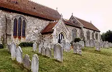
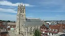
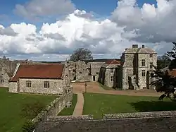
Grade I listed buildings on the Isle of Wight
There are over 9,300 Grade I listed buildings in England. This page is a list of these buildings in the county of Isle of Wight.
In the United Kingdom, the term listed building refers to a building or other structure officially designated as being of special architectural, historical, or cultural significance; Grade I structures are those considered to be "buildings of exceptional interest".[1] Listing was begun by a provision in the Town and Country Planning Act 1947. Once listed, strict limitations are imposed on the modifications allowed to a building's structure or fittings. In England, the authority for listing under the Planning (Listed Buildings and Conservation Areas) Act 1990[2] rests with English Heritage, a non-departmental public body sponsored by the Department for Culture, Media and Sport; local authorities have a responsibility to regulate and enforce the planning regulations.
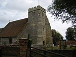
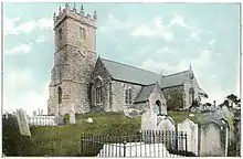
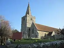
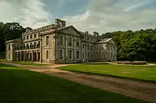
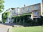
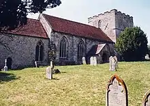
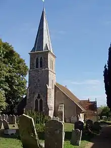
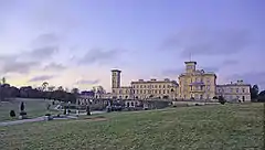
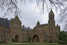
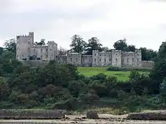
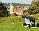
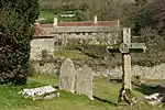
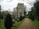
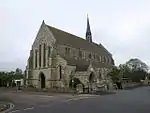
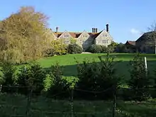
Buildings


Notes
- The date given is the date used by Historic England as significant for the initial building or that of an important part in the structure's description.
- Sometimes known as OSGB36, the grid reference is based on the British national grid reference system used by the Ordnance Survey.
- The "List Entry Number" is a unique number assigned to each listed building and scheduled monument by Historic England.
References
- "What is a listed building?". Manchester City Council. Retrieved 2011-09-04.
- "Planning (Listed Buildings and Conservation Areas) Act 1990 (c. 9)". Ministry of Justice. Archived from the original on 2010-04-18. Retrieved 2011-09-04.
External links
![]() Media related to Grade I listed buildings on the Isle of Wight at Wikimedia Commons
Media related to Grade I listed buildings on the Isle of Wight at Wikimedia Commons