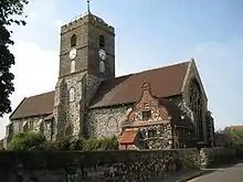
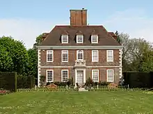
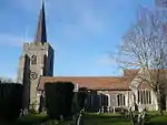
Grade I listed buildings in Dover (district)
There are over 9,000 Grade I listed buildings in England. This page is a list of these buildings in the district of Dover in Kent.
Buildings
| Name | Location | Type | Completed [note 1] | Date designated | Grid ref.[note 2] Geo-coordinates |
Entry number [note 3] | Image |
|---|---|---|---|---|---|---|---|
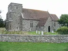
| Church of St Anthony the Martyr | Alkham, Dover (district) | Church | c.1200 | 22 August 1962 | TR2554442365 51°08′10″N 1°13′21″E |
1084358 |  Church of St Anthony the Martyr |
| Church of St Nicholas | Ash | Parish church | c.1190 | 11 October 1963 | TR2875958384 51°16′43″N 1°16′43″E |
1363280 |  Church of St Nicholas |
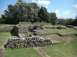
| Richborough Castle | Richborough, Ash | Settlement | AD43 | 26 November 1987 | TR3244460253 51°17′38″N 1°19′57″E |
1363256 | |
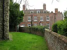
| Ratling Court | Ratling, Aylesham | House | Late 15th century | 11 October 1963 | TR2398153690 51°14′18″N 1°12′26″E |
1363218 |  |
| Church of St Mary | Capel-le-Ferne | Parish church | 12th century | 22 August 1962 | TR2571140018 51°06′54″N 1°13′25″E |
1070047 | |
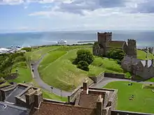
| Church of St Mary in Castro | Dover Castle | Church | c.1020 | 7 March 1974 | TR3262941822 51°07′42″N 1°19′24″E |
1070328 | |
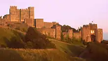
| Dover Castle | Dover Castle | Castle | c.1155 | 7 March 1974 | TR3247941938 51°07′46″N 1°19′17″E |
1070326 | |
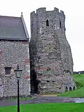
| The Roman Pharos | Dover Castle | Tower | AD46 | 7 March 1974 | TR3260441815 51°07′42″N 1°19′23″E |
1258537 | |
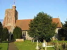
| Church of St Mary the Virgin | Eastry, Dover | Parish church | 12th century | 11 October 1963 | TR3111254777 51°14′43″N 1°18′36″E |
1363287 | 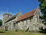 Church of St Mary the Virgin |
| Eastry Court | Eastry | Archbishop's palace | 16th century | 13 October 1952 | TR3112554816 51°14′44″N 1°18′37″E |
1366610 |  |
| Fairfield House | Eastry | Cross wing house | Early 15th century | 11 October 1963 | TR3093954579 51°14′37″N 1°18′27″E |
1070186 |  Fairfield House |
| Church of St Nicholas | Barfrestone, Eythorne | Church | c.1180 | 11 October 1963 | TR2642550146 51°12′20″N 1°14′24″E |
1070306 |  Church of St Nicholas |
| Church of St Clement | Knowlton, Goodnestone | Parish church | 14th/15th-century origin | 11 October 1963 | TR2816053353 51°14′01″N 1°16′01″E |
1111748 |  Church of St Clement |
| Church of the Holy Cross | Goodnestone | Parish church | Late 12th century | 11 October 1963 | TR2547454583 51°14′45″N 1°13′45″E |
1070258 | 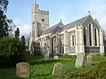 Church of the Holy Cross |
| Knowlton Court | Knowlton, Goodnestone | House | 1585 | 13 October 1952 | TR2810953319 51°14′00″N 1°15′58″E |
1336977 | |
| Church of St Lawrence | Church Hougham, Hougham Without | Parish church | 12th century | 22 August 1962 | TR2782739972 51°06′49″N 1°15′13″E |
1070024 | 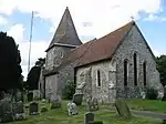 Church of St Lawrence |
| Church of St Mary | Nonington | Parish church | Late 13th century | 11 October 1963 | TR2530752348 51°13′33″N 1°13′32″E |
1070241 | 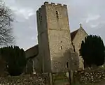 Church of St Mary |
| St Albans Court | Nonington | Country house | 1875–78 | 13 October 1952 | TR2635752640 51°13′41″N 1°14′26″E |
1070242 |  St Albans Court |
| Church of St Augustine | Northbourne | Parish church | 12th century | 11 October 1963 | TR3336452233 51°13′18″N 1°20′26″E |
1264324 | 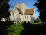 Church of St Augustine |
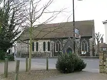
| Church of St Mildred | Preston | Library | Early 13th century | 11 October 1963 | TR2439160404 51°17′55″N 1°13′03″E |
1376652 |  Church of St Mildred |
| Church of St Nicholas | Ringwould with Kingsdown | Parish church | 12th century | 22 August 1966 | TR3597448303 51°11′07″N 1°22′31″E |
1070060 | |
| Chapel of St Bartholomew | Stone Cross, Sandwich | Chapel | 13th century | 19 May 1950 | TR3304057506 51°16′09″N 1°20′22″E |
1343722 | 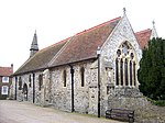 Chapel of St Bartholomew |
| Church of St Clement | Sandwich | Parish church | Latter half of 12th century | 19 May 1950 | TR3328658006 51°16′24″N 1°20′36″E |
1343695 | 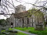 Church of St Clement |
| Church of St Mary | Sandwich | Church | c.1200 | 19 May 1950 | TR3295158417 51°16′38″N 1°20′19″E |
1069541 | |
| Church of St Peter | Sandwich | Church | 13th century | 19 May 1950 | TR3307458165 51°16′30″N 1°20′25″E |
1343813 | |
| Fisher Gate | Sandwich | Town gate | 1384 | 29 April 1970 | TR3328258194 51°16′30″N 1°20′36″E |
1069601 | 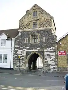 Fisher Gate |
| The Barbican | Sandwich | Gatehouse | Late 14th century | 19 May 1950 | TR3318058258 51°16′33″N 1°20′31″E |
1069655 | 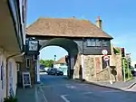 The Barbican |
| The Salutation | Sandwich | Manor house | 1912 | 19 May 1950 | TR3336658124 51°16′28″N 1°20′40″E |
1069643 | |
| Church of St Pancras | Coldred, Shepherdswell with Coldred | Parish church | Saxon | 22 August 1962 | TR2744047594 51°10′56″N 1°15′11″E |
1069988 | 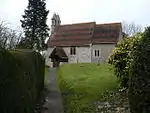 Church of St Pancras |
| The Belvedere | Waldershare Park, Shepherdswell with Coldred | Belvedere | 1725–27 | 22 August 1962 | TR2816047499 51°10′52″N 1°15′47″E |
1051607 | 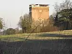 The Belvedere |
| Waldershare Park | Waldershare Park, Shepherdswell with Coldred | Country house | 1705–12 | 22 August 1962 | TR2895347999 51°11′07″N 1°16′29″E |
1069998 | 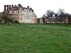 Waldershare Park |
| Waldershare Park | Waldershare Park, Tilmanstone, Shepherdswell with Coldred | Country house | 1705–12 | 13 October 1952 | TR2896348018 51°11′08″N 1°16′30″E |
1247724 |  Waldershare Park |
| Church of St Margaret | St Margaret's at Cliffe | Parish church | c.1150 | 22 August 1966 | TR3587744771 51°09′13″N 1°22′18″E |
1101743 | 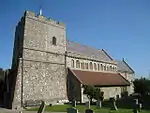 Church of St Margaret |
| Church of St James | Staple | Parish church | 12th-century origins | 11 October 1963 | TR2693656641 51°15′49″N 1°15′05″E |
1070137 | 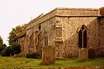 Church of St James |
| Church of All Saints | West Stourmouth, Stourmouth | Parish church | Saxon | 11 October 1963 | TR2561662880 51°19′13″N 1°14′12″E |
1203363 | 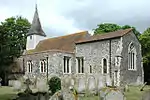 Church of All Saints |
| Church of St Andrew | Tilmanstone | Parish church | 12th century | 11 October 1963 | TR3021251470 51°12′58″N 1°17′42″E |
1247778 |  Church of St Andrew |
| Canon Cottage & the Old Canonry | Wingham | Clergy house | c.1285 | 13 October 1952 | TR2424657401 51°16′18″N 1°12′48″E |
1281551 | 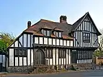 Canon Cottage & the Old Canonry |
| Church of St Mary | Wingham, Dover | Collegiate church | c.1200 | 11 October 1963 | TR2421257474 51°16′20″N 1°12′47″E |
1070091 | |
| The Town Hall and remains of medieval Maison Dieu | Dover | Tower | 14th century after 1325 | 17 December 1973 | TR3162541738 51°07′41″N 1°18′32″E |
1069499 | 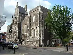 The Town Hall and remains of medieval Maison Dieu |
See also
- Grade I listed buildings in Kent
- Grade I listed buildings in Ashford (borough)
- Grade I listed buildings in City of Canterbury
- Grade I listed buildings in Dartford (borough)
- Grade I listed buildings in Folkestone and Hythe
- Grade I listed buildings in Gravesham
- Grade I listed buildings in Maidstone
- Grade I listed buildings in Medway
- Grade I listed buildings in Tonbridge and Malling
- Grade I listed buildings in Tunbridge Wells (borough)
- Grade I listed buildings in Sevenoaks (district)
- Grade I listed buildings in Swale
- Grade I listed buildings in Thanet
- Grade II* listed buildings in Dover (district)
Notes
- The date given is the date used by Historic England as significant for the initial building or that of an important part in the structure's description.
- Sometimes known as OSGB36, the grid reference is based on the British national grid reference system used by the Ordnance Survey.
- The "List Entry Number" is a unique number assigned to each listed building and scheduled monument by Historic England.
External links
![]() Media related to Grade I listed buildings in Dover (district) at Wikimedia Commons
Media related to Grade I listed buildings in Dover (district) at Wikimedia Commons
This article is issued from Wikipedia. The text is licensed under Creative Commons - Attribution - Sharealike. Additional terms may apply for the media files.
