Grade I listed buildings in Bedfordshire
There are approximately 372,905 listed buildings in England and 2.5% of these are Grade I.[1] This page is a list of these buildings in the county of Bedfordshire,[2][3] by district.
Bedfordshire shown within England
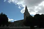
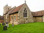
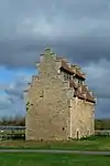
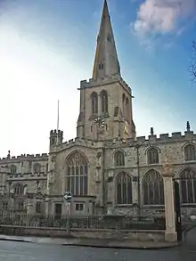
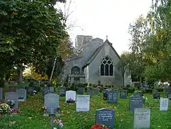
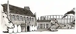
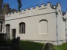
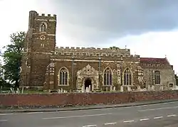
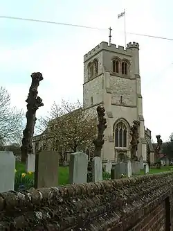
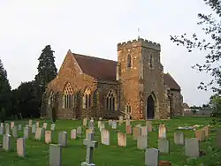
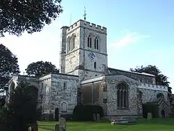
Bedford
.jpg.webp)
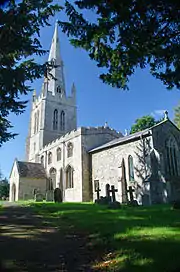


.jpg.webp)


.jpg.webp)
.jpg.webp)
.jpg.webp)
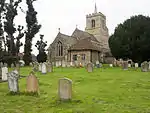
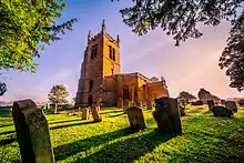


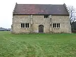

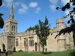
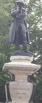
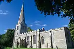
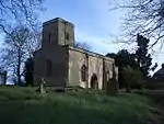
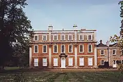
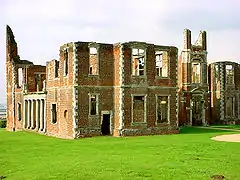
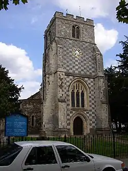
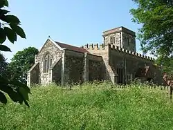
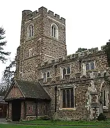
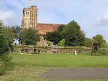
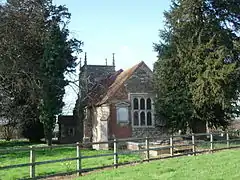
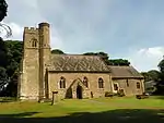
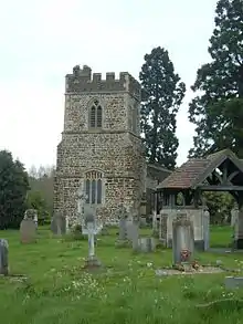
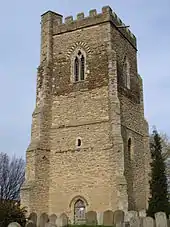
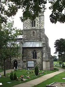
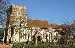
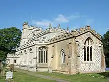
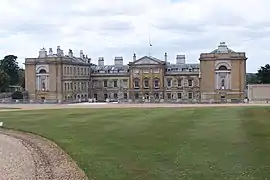
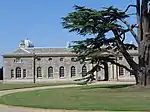
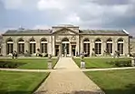
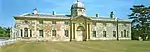
Central Bedfordshire

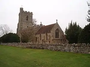
.jpg.webp)
.jpg.webp)
.jpg.webp)
.jpg.webp)
.jpg.webp)
.jpg.webp)
.jpg.webp)


.jpg.webp)


.jpg.webp)
.JPG.webp)


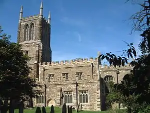

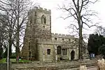
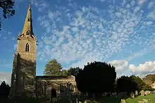
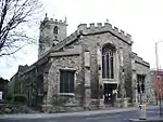
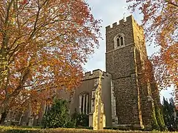
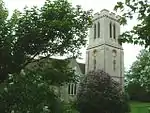
Luton
| Name | Location | Type | Completed [note 1] | Date designated | Grid ref.[note 2] Geo-coordinates |
Entry number [note 3] | Image |
|---|---|---|---|---|---|---|---|
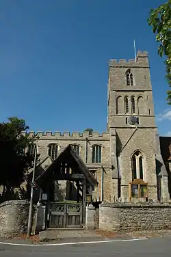
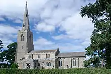
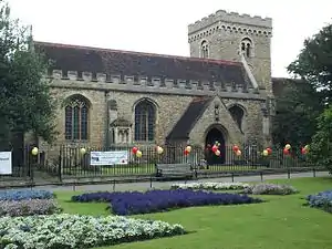
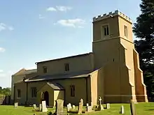
| Parish Church of St Mary | Luton | Parish Church | Earlier | 10 September 1954 | TL0953221204 51°52′43″N 0°24′37″W |
1114615 |

See also
- Category:Grade I listed buildings in Bedfordshire
- Grade II* listed buildings in Bedfordshire
Notes
- The date given is the date used by Historic England as significant for the initial building or that of an important part in the structure's description.
- Sometimes known as OSGB36, the grid reference is based on the British national grid reference system used by the Ordnance Survey.
- The "List Entry Number" is a unique number assigned to each listed building and scheduled monument by Historic England.
References
- "Listed Buildings". English Heritage. 2010. Archived from the original on 24 January 2013. Retrieved 19 August 2011.
- National Heritage List for England] Images of England (original source)
- http://www.heritagegateway.org.uk/Gateway/Advanced_Search.aspx?reset=true English Heritage Gateway (used to update)
External links
| Wikimedia Commons has media related to Grade I listed buildings in Bedfordshire. |
This article is issued from Wikipedia. The text is licensed under Creative Commons - Attribution - Sharealike. Additional terms may apply for the media files.