Grade I listed buildings in Nottinghamshire
There are over 9,000 Grade I listed buildings in England. This page is a list of these buildings in the county of Nottinghamshire, by district.

Nottinghamshire shown within England
Ashfield
| Name | Location | Type | Completed [note 1] | Date designated | Grid ref.[note 2] Geo-coordinates |
Entry number [note 3] | Image |
|---|---|---|---|---|---|---|---|
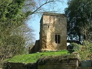
| Ruins of Church of All Saints | Annesley Park, Annesley | Parish Church | 12th century | 13 October 1966 | SK5034952363 53°03′58″N 1°15′00″W |
1234999 | |
| Church of St Katharine | Teversal | Tower | 13th century | 12 October 1988 | SK4833961902 53°09′07″N 1°16′43″W |
1234886 |
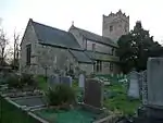
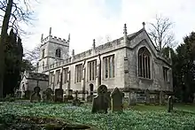
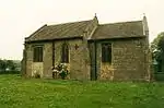
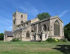
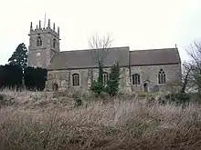
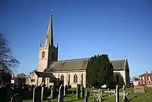
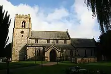
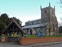
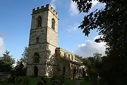
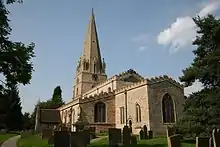
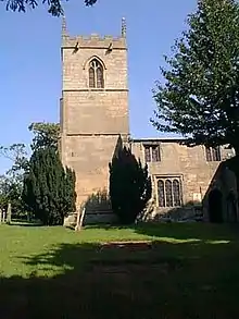
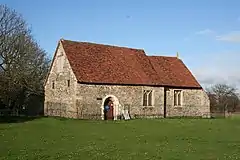
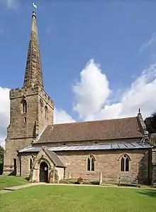
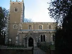
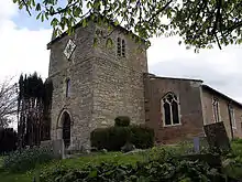
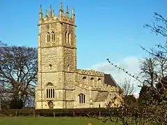
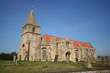
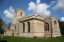
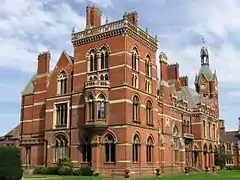
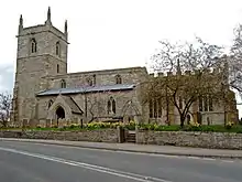
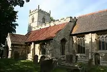
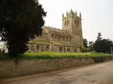
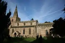
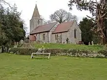
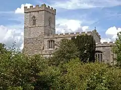
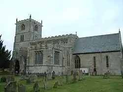
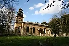
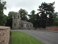
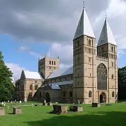
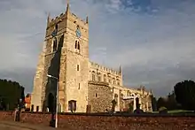
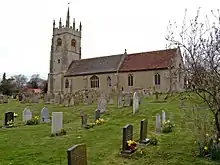
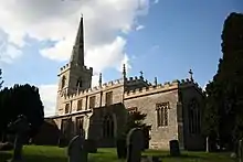
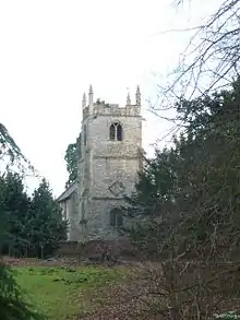
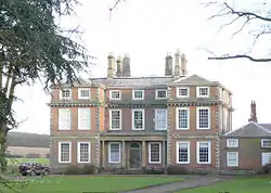
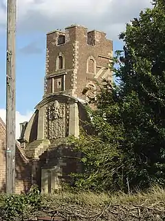
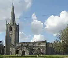
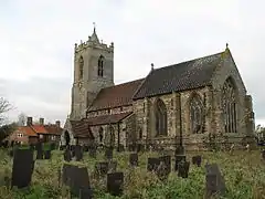
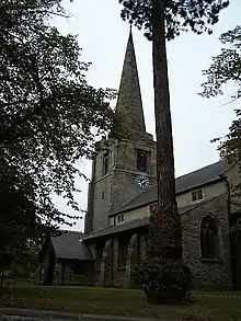
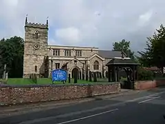
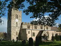
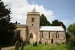
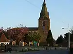
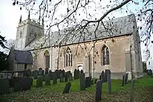
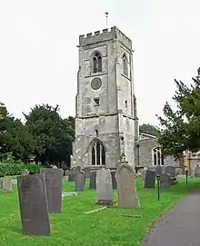
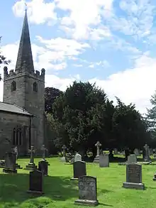
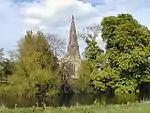
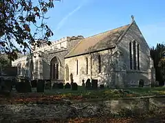
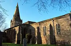
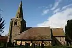
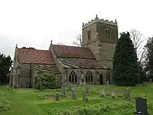
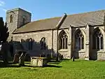
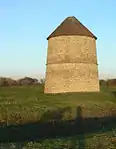
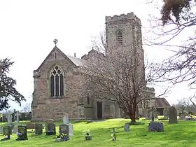
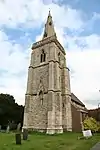
Bassetlaw
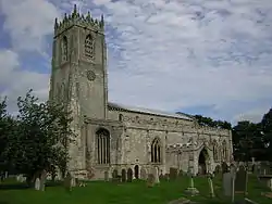
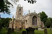
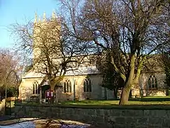

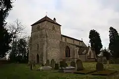
_-_geograph.org.uk_-_1168902.jpg.webp)


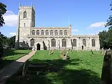
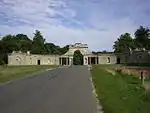
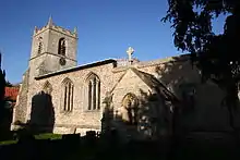
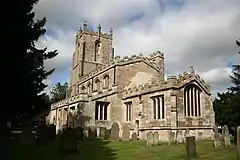
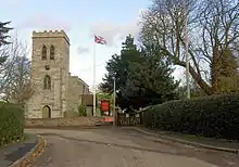
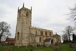
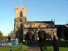
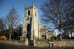
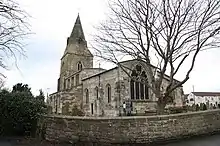

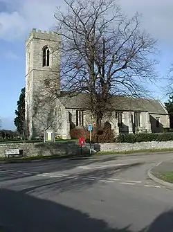

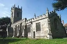
.jpg.webp)
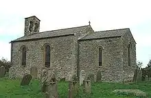
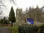
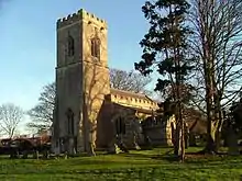
.jpg.webp)
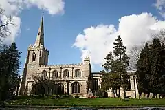
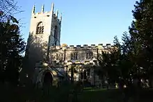
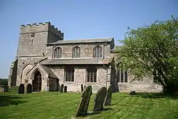
_(geograph_3637265).jpg.webp)

Broxtowe
| Name | Location | Type | Completed [note 1] | Date designated | Grid ref.[note 2] Geo-coordinates |
Entry number [note 3] | Image |
|---|---|---|---|---|---|---|---|
| Stapleford Cross | Stapleford | Cross | 11th century | 14 April 1987 | SK4890337350 52°55′53″N 1°16′26″W |
1278059 | |
| Church of All Saints | Strelley | Parish Church | 13th century | 13 October 1966 | SK5065042090 52°58′26″N 1°14′50″W |
1248224 | |
| St. Mary's Church, Attenborough | Attenborough | Parish Church | 12th century | 14 April 1987 | SK5187034331 52°54′14″N 1°13′49″W |
1263869 | |
| Building D6 at Boots Factory Site | Beeston | Industrial Building | Mid 20th Century | 14 April 1987 | SK5430236774 52°55′32″N 1°11′37″W |
1278028 | 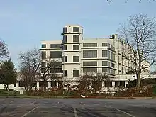 Building D6 at Boots Factory Site |
| D10 Building at Boots Factory Site, That Part in Nottingham Civil Parish | Beeston | Pharmaceutical Works | 1932 | 28 January 1971 | SK5445436630 52°55′28″N 1°11′29″W |
1247646 |  D10 Building at Boots Factory Site, That Part in Nottingham Civil Parish |

City of Nottingham
| Name | Location | Type | Completed [note 1] | Date designated | Grid ref.[note 2] Geo-coordinates |
Entry number [note 3] | Image |
|---|---|---|---|---|---|---|---|
| Building D10 at Boots Factory Site | City of Nottingham (mainly in Beeston) | Pharmaceutical Works | 1932 | 28 January 1971 | 52°55′27″N 1°11′32″W | 1247927 | Building D10 at Boots Factory Site |
| Castle Museum and Art Gallery | City of Nottingham | Art Gallery | 1876-78 | 11 August 1952 | SK5691439447 52°56′58″N 1°09′16″W |
1271188 | |
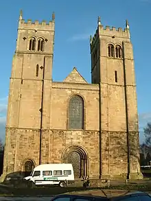
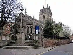
| Church of St Mary | Lace Market, City of Nottingham | Parish Church | Late 14th century | 11 August 1952 | SK5767339654 52°57′04″N 1°08′35″W |
1342118 | |
| Church of St Mary the Virgin | Clifton, City of Nottingham | Tower | Late 14th century | 14 April 1954 | SK5411134805 52°54′29″N 1°11′49″W |
1270726 | |
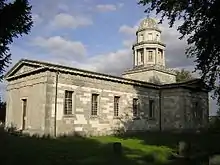
| Church of St Peter with St James | City of Nottingham | Obelisk | 1811 | 11 August 1952 | SK5730539769 52°57′08″N 1°08′55″W |
1255013 | |
| Clifton Hall | Clifton, City of Nottingham | Country House | Late 16th century | 14 April 1954 | SK5403434842 52°54′30″N 1°11′53″W |
1247639 | |
| D6 Building at Boots Factory Site, That Part in Nottingham Civil Parish | City of Nottingham | Pharmaceutical Works | 1938 | 4 April 1991 | SK5435736804 52°55′33″N 1°11′34″W |
1247645 | D6 Building at Boots Factory Site, That Part in Nottingham Civil Parish |
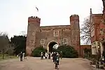
| Nottingham Castle Gatehouse, Outer Bridge and Adjoining Gateway | City of Nottingham | Castle | 1252-55 | 11 August 1952 | SK5694939583 52°57′02″N 1°09′14″W |
1247094 | 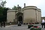 Nottingham Castle Gatehouse, Outer Bridge and Adjoining Gateway |
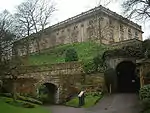
| Nottingham Castle Outer Bailey Wall and Towers | City of Nottingham | Tower | c. 1280 | 12 July 1972 | SK5704139462 52°56′58″N 1°09′09″W |
1246765 | 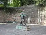 Nottingham Castle Outer Bailey Wall and Towers |
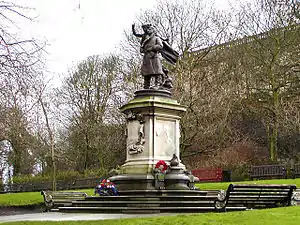
| Statue of Captain Albert Ball | City of Nottingham | Statue | 1921 | 12 July 1972 | SK5695139510 52°57′00″N 1°09′14″W |
1246929 | |
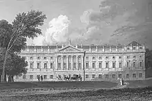
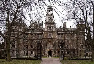
| Wollaton Hall | Wollaton Park | Country House | 1580-88 | 11 August 1952 | SK5320239242 52°56′53″N 1°12′35″W |
1255269 |
.jpg.webp)
.JPG.webp)
Gedling
| Name | Location | Type | Completed [note 1] | Date designated | Grid ref.[note 2] Geo-coordinates |
Entry number [note 3] | Image |
|---|---|---|---|---|---|---|---|
| St Helen's Church, Burton Joyce | Burton Joyce | Tower | 13th century | 13 October 1966 | SK6478043694 52°59′12″N 1°02′11″W |
1227460 | |
| Holy Trinity Church, Lambley | Lambley | Tower | 13th century | 13 October 1966 | SK6312045435 53°00′09″N 1°03′39″W |
1264623 | |
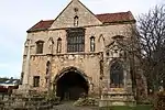
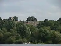
| Newstead Abbey and Adjoining Boundary Wall | Newstead Park, Newstead | Kitchen | 1819 | 14 May 1952 | SK5416253770 53°04′42″N 1°11′35″W |
1265325 | 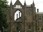 Newstead Abbey and Adjoining Boundary Wall |
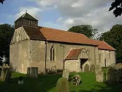
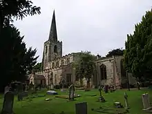
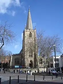
| Church of St James, Papplewick | Papplewick Hall, Papplewick | Parish Church | 14th century | 13 October 1966 | SK5456951526 53°03′30″N 1°11′14″W |
1264291 | .jpg.webp) Church of St James, Papplewick |
| Papplewick Hall | Papplewick | Country House | c. 1785 | 14 May 1952 | SK5482851721 53°03′36″N 1°11′00″W |
1265296 | |
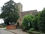
| All Hallows Church, Gedling | Gedling | Cross | 13th century | 18 January 1950 | SK6183842570 52°58′37″N 1°04′50″W |
1235924 | 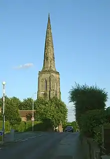 All Hallows Church, Gedling |
Mansfield
| Name | Location | Type | Completed [note 1] | Date designated | Grid ref.[note 2] Geo-coordinates |
Entry number [note 3] | Image |
|---|---|---|---|---|---|---|---|
| Church of St Augustine | Sookholme, Warsop | Parish Church | Early 12th century | 29 July 1966 | SK5483466906 53°11′47″N 1°10′50″W |
1262532 | |
| Church of St Peter and St Paul | Church Warsop | Church | 11th century | 29 July 1966 | SK5678568801 53°12′48″N 1°09′04″W |
1240271 | |
| Church of St Peter and St Paul | Mansfield | Church | c. 1300 | 19 December 1955 | SK5407861008 53°08′37″N 1°11′35″W |
1214166 |

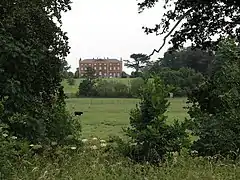
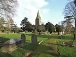
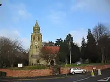
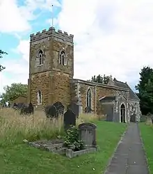
Newark and Sherwood
.jpg.webp)
.jpg.webp)

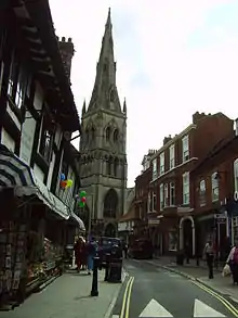
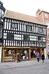

.jpg.webp)

.jpg.webp)

.jpg.webp)
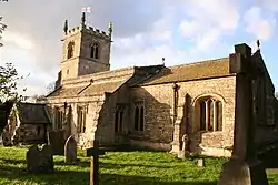
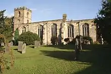
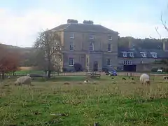
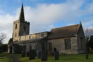
Rushcliffe


.jpg.webp)
.jpg.webp)
.jpg.webp)

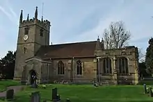
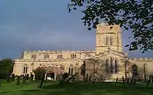
.jpg.webp)
.jpg.webp)
.jpg.webp)
See also
- Category:Grade I listed buildings in Nottinghamshire
- Grade II* listed buildings in Nottinghamshire
Notes
- The date given is the date used by Historic England as significant for the initial building or that of an important part in the structure's description.
- Sometimes known as OSGB36, the grid reference is based on the British national grid reference system used by the Ordnance Survey.
- The "List Entry Number" is a unique number assigned to each listed building and scheduled monument by Historic England.
References
External links
![]() Media related to Grade I listed buildings in Nottinghamshire at Wikimedia Commons
Media related to Grade I listed buildings in Nottinghamshire at Wikimedia Commons
This article is issued from Wikipedia. The text is licensed under Creative Commons - Attribution - Sharealike. Additional terms may apply for the media files.