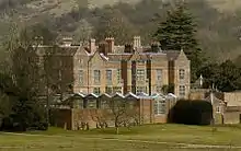
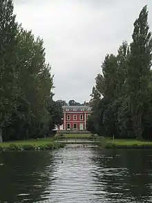
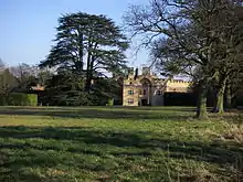
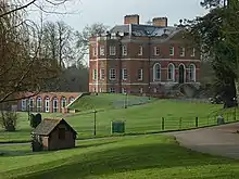
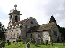
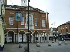
Grade I listed buildings in Buckinghamshire
There are approximately 372,905 listed buildings in England and 2.5% of these are Grade I.[1] This page is a list of these buildings in the county of Buckinghamshire,[2][3] by district.
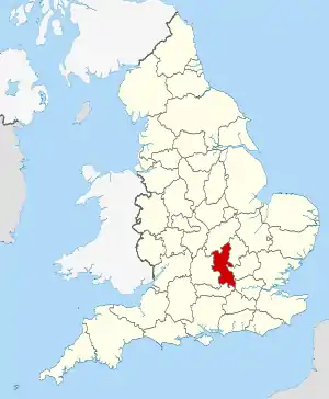
Buckinghamshire shown in England
Aylesbury Vale
| Name | Location | Type | Completed [note 1] | Date designated | Grid ref.[note 2] Geo-coordinates |
Entry number [note 3] | Image |
|---|---|---|---|---|---|---|---|
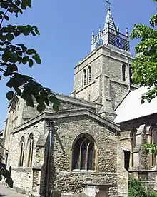
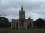
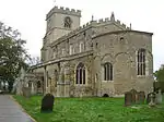
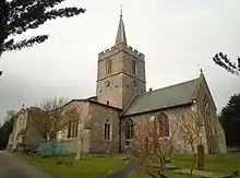
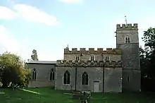
| Church of St Cecilia | Adstock, Aylesbury Vale | Parish church | 12th century | 13 July 1966 | SP7350930110 51°57′53″N 0°55′53″W |
1288520 | 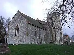 Church of St Cecilia |
| Parish Church of St Mary the Virgin | Ashendon | Parish church | Early 12th century | 21 December 1967 | SP7051114214 51°49′20″N 0°58′42″W |
1118370 | 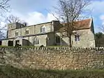 Parish Church of St Mary the Virgin |
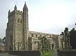
| Church of St Mary | Aylesbury | Church | 13th century | 7 April 1952 | SP8170713913 51°49′04″N 0°48′58″W |
1160522 | |
| Church of St James | Bierton, Bierton with Broughton | Parish church | 14th century | 21 December 1967 | SP8361615261 51°49′47″N 0°47′17″W |
1160435 | 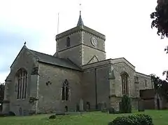 Church of St James |
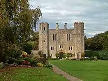
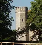
| Boarstall Tower | Boarstall | House | Early 14th century | 25 October 1951 | SP6242014248 51°49′24″N 1°05′45″W |
1124280 | |
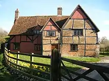
| Castle House | Buckingham | Timber-framed house | Late 15th century | 13 October 1952 | SP6940834015 52°00′01″N 0°59′25″W |
1282698 | .jpg.webp) Castle House |
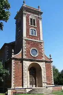
| St Peter and St Paul, Buckingham | Buckingham | Church | 1777–80 | 13 October 1952 | SP6946833780 51°59′53″N 0°59′22″W |
1282713 | |
| Thornborough Bridge | Buckingham | Bridge | 14th century | 25 September 1951 | SP7292533163 51°59′32″N 0°56′22″W |
1276995 | |
| Thornborough Bridge (the part in Buckingham Civil Parish) | Buckingham | Bridge | 15th century | 13 October 1952 | SP7292633163 51°59′32″N 0°56′22″W |
1201358 | .jpg.webp) Thornborough Bridge (the part in Buckingham Civil Parish) |
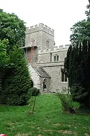
| Church of St Mary and St Nicholas | Chetwode | Parish church | Early English | 13 July 1966 | SP6404329800 51°57′47″N 1°04′10″W |
1211496 | Mar2006.jpg.webp) Church of St Mary and St Nicholas |
| Parish Church of St Mary | Chilton | Parish church | 12th century | 21 December 1967 | SP6867411608 51°47′56″N 1°00′20″W |
1118356 | 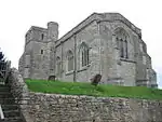 Parish Church of St Mary |
| Manor House | Creslow | House | c.1330 | 25 October 1951 | SP8116821837 51°53′21″N 0°49′19″W |
1117837 | 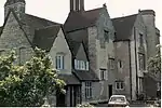 Manor House |
| Parish Church of Saints Peter and Paul | Dinton, Dinton-with-Ford and Upton | Parish church | 12th century | 21 December 1967 | SP7668311069 51°47′35″N 0°53′22″W |
1319069 | 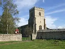 Parish Church of Saints Peter and Paul |
| Dorton House | Dorton | Country house | 1626 | 25 October 1951 | SP6791713894 51°49′10″N 1°00′58″W |
1124266 | |
| Church of St Mary | Drayton Beauchamp | Parish church | 15th century | 21 December 1967 | SP9016011884 51°47′54″N 0°41′38″W |
1124210 | 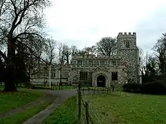 Church of St Mary |
| Church of St Mary | Edlesborough | Parish church | 13th century | 18 October 1966 | SP9700419061 51°51′42″N 0°35′34″W |
1117908 | |
| Parish Church of St Mary | Church End, Haddenham | Parish church | 12th century | 21 December 1967 | SP7416508002 51°45′57″N 0°55′36″W |
1118285 |  Parish Church of St Mary |
| Church of All Saints | Hillesden | Parish church | Mid-15th century | 13 July 1966 | SP6856928753 51°57′11″N 1°00′13″W |
1288641 | |
| Parish Church of St Nicholas | Ickford | Parish church | 12th century | 21 December 1967 | SP6459407372 51°45′41″N 1°03′56″W |
1159739 | |
| Church of St Mary | Ivinghoe | Parish church | 13th century | 18 October 1966 | SP9455316177 51°50′10″N 0°37′45″W |
1117874 | |
| Tythrop Park | Kingsey | Country house | Early 17th century | 26 August 1949 | SP7395307022 51°45′25″N 0°55′48″W |
1159819 |  |
| Church of St Mary | Leckhampstead, Buckinghamshire | Parish church | Norman | 13 July 1966 | SP7264037918 52°02′06″N 0°56′33″W |
1214985 | 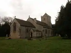 Church of St Mary |
| Church of St Nicholas | Lillingstone Dayrell with Luffield Abbey | Parish church | Norman | 13 July 1966 | SP7052839821 52°03′08″N 0°58′22″W |
1215097 |  Church of St Nicholas |
| Church of St Mary | Lillingstone Lovell | Parish church | Early 13th century | 13 July 1966 | SP7124540491 52°03′30″N 0°57′44″W |
1215187 | .jpg.webp) Church of St Mary |
| Church of St Mary | Church End, Long Crendon | Church | 13th century | 21 December 1967 | SP6984009060 51°46′33″N 0°59′21″W |
1214036 | Aug2005.jpg.webp) Church of St Mary |
| Notley Abbey House | Long Crendon | House | c.1162 | 25 October 1951 | SP7154709197 51°46′37″N 0°57′52″W |
1213476 | |
| Barn adjoining south-east corner of Notley Abbey House | Long Crendon | Barn | 13th century | 25 October 1951 | SP7158009183 51°46′36″N 0°57′50″W |
1213478 | 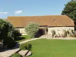 Barn adjoining south-east corner of Notley Abbey House |
| Enclosing wall at Notley Abbey House | Long Crendon | Wall | 13th century | 19 June 1981 | SP7156909222 51°46′38″N 0°57′51″W |
1289101 |  |
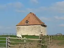
| Dovecote to north-east of Notley Farm | Long Crendon | Dovecote | 14th century | 25 October 1951 | SP7140509317 51°46′41″N 0°57′59″W |
1289102 | |
| Church of St Mary | Ludgershall | Parish church | Early 14th century | 21 December 1967 | SP6598917204 51°50′58″N 1°02′36″W |
1124276 | 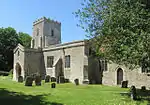 Church of St Mary |
| Church of St Edmund | Maids Moreton | Parish church | 15th century | 13 July 1966 | SP7063835166 52°00′38″N 0°58′20″W |
1215188 | 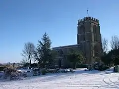 Church of St Edmund |
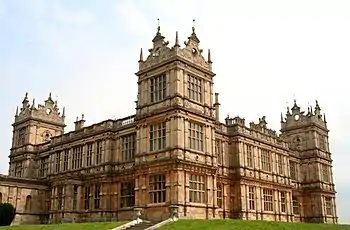
| Mentmore Towers | Mentmore | Country house | 1851 | 26 September 1951 | SP9025119659 51°52′06″N 0°41′26″W |
1117863 | |
| Church of All Saints | Claydon Park, Middle Claydon | Parish church | c.1300 | 13 July 1966 | SP7189825296 51°55′18″N 0°57′21″W |
1214762 | 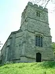 Church of All Saints |
| Claydon House | Claydon Park, Middle Claydon | House | 1771 | 25 September 1951 | SP7191725334 51°55′19″N 0°57′20″W |
1288461 | |
| Nether Winchendon House | Lower Winchendon, Nether Winchendon | Country house | 15th century | 25 October 1951 | SP7344512077 51°48′09″N 0°56′11″W |
1319088 | |
| Parish Church of St Nicholas | Lower Winchendon, Nether Winchendon | Parish church | 13th century | 21 December 1967 | SP7326912252 51°48′15″N 0°56′20″W |
1159892 | 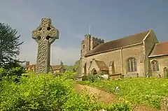 Parish Church of St Nicholas |
| Church of St Faith | Newton Longville | Parish church | 12th century | 19 August 1959 | SP8477431422 51°58′29″N 0°46′02″W |
1216499 | 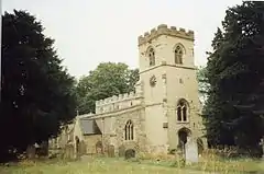 Church of St Faith |
| Church of St Mary | North Marston | Parish church | 13th century | 19 August 1959 | SP7770522700 51°53′51″N 0°52′20″W |
1213264 | 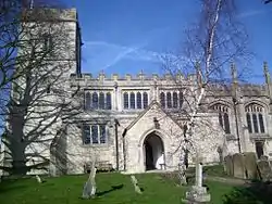 Church of St Mary |
| Church of St Mary | Pitstone | Parish church | Mid-13th century | 18 October 1966 | SP9423114937 51°49′30″N 0°38′03″W |
1117829 | |
| Church of St Mary and the Holy Cross | Quainton | Parish church | 14th century | 21 December 1967 | SP7499920155 51°52′30″N 0°54′43″W |
1319285 |  Church of St Mary and the Holy Cross |
| Church of St John | Radclive, Radclive-cum-Chackmore | Parish church | Transitional | 13 July 1966 | SP6756533925 51°59′59″N 1°01′02″W |
1211600 | 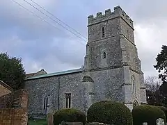 Church of St John |
| Church of St Michael | Stewkley | Parish church | Mid-12th century | 19 August 1959 | SP8521126104 51°55′37″N 0°45′44″W |
1214007 | 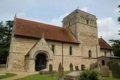 Church of St Michael |
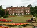
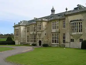
| Hartwell House | Hartwell, Stone with Bishopstone and Hartwell | Country house | Early 17th century | 25 October 1951 | SP7960112451 51°48′18″N 0°50′49″W |
1118471 | |
| Stowe House | Stowe School, Stowe | Country house | 1680 | 25 September 1951 | SP6746337436 52°01′52″N 1°01′05″W |
1289788 | |
| Arches at each end of north front of Stowe House | Stowe School, Stowe | Wall | c.1740 | 25 September 1951 | SP6735437459 52°01′53″N 1°01′11″W |
1211919 |  |
| Captain Cook's Monument at Stowe House | Stowe School, Stowe | Monument | c.1740 | 13 July 1966 | SP6774237338 52°01′49″N 1°00′50″W |
1211939 | 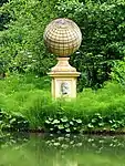 Captain Cook's Monument at Stowe House |
| Dido's Cave at Stowe House | Stowe School, Stowe | Garden building | 1727 | 13 July 1966 | SP6740837189 52°01′44″N 1°01′08″W |
1212154 |  Dido's Cave at Stowe House |
| Equestrian statue of George I to north of Stowe House | Stowe School, Stowe | Statue | 1723 | 25 September 1951 | SP6743737502 52°01′55″N 1°01′06″W |
1211872 |  Equestrian statue of George I to north of Stowe House |
| Lord Cobham's Column at Stowe House | Stowe School, Stowe | Column | Post c.1740 | 25 September 1951 | SP6792037774 52°02′03″N 1°00′41″W |
1289781 | .jpg.webp) Lord Cobham's Column at Stowe House |
| Queen Caroline's Monument at Stowe House | Stowe School, Stowe | Commemorative monument | c.1725 | 13 July 1966 | SP6717336907 52°01′35″N 1°01′21″W |
1212190 | 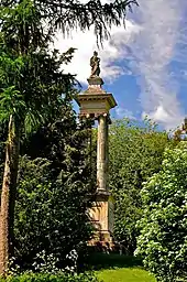 Queen Caroline's Monument at Stowe House |
| The Boycott Pavilions at Stowe House | Stowe School, Stowe | House | c.1728 | 25 September 1951 | SP6680537034 52°01′40″N 1°01′40″W |
1289656 | 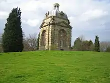 The Boycott Pavilions at Stowe House |
| The Cascade at Stowe House | Stowe School, Stowe | Cascade | 1760s | 13 July 1966 | SP6765636954 52°01′37″N 1°00′55″W |
1211949 |  The Cascade at Stowe House |
| The Congreve Monument at Stowe House | Stowe School, Stowe | Obelisk | c.1737 | 25 September 1951 | SP6783737062 52°01′40″N 1°00′46″W |
1289751 | .jpg.webp) The Congreve Monument at Stowe House |
| The Corinthian Arch | Stowe School, Stowe | Arch | 1765 | 13 July 1966 | SP6806036302 52°01′16″N 1°00′34″W |
1212239 |  The Corinthian Arch |
| The Doric Arch at Stowe House | Stowe School, Stowe | Arch | 1767 | 25 September 1951 | SP6766037176 52°01′44″N 1°00′55″W |
1212030 |  The Doric Arch at Stowe House |
| The Fane of Pastoral Poetry at Stowe House | Stowe School, Stowe | Belvedere | 1727–28 | 13 July 1966 | SP6774038126 52°02′15″N 1°00′50″W |
1289758 | 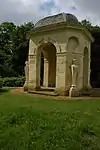 The Fane of Pastoral Poetry at Stowe House |
| The Gothic Temple at Stowe House | Stowe School, Stowe | Pavilion | 1748 | 25 September 1951 | SP6791037444 52°01′53″N 1°00′41″W |
1211945 | 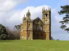 The Gothic Temple at Stowe House |
| The Grenville Column at Stowe House | Stowe School, Stowe | Column | c.1748 | 13 July 1966 | SP6767437374 52°01′50″N 1°00′54″W |
1289782 | 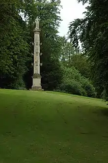 The Grenville Column at Stowe House |
| The Hermitage at Stowe House | Stowe School, Stowe | Garden feature | Pre-1732 | 13 July 1966 | SP6754636835 52°01′33″N 1°01′01″W |
1289654 | .jpg.webp) The Hermitage at Stowe House |
| The Lake Pavilions at Stowe House | Stowe School, Stowe | Pavilion | c.1730 | 13 July 1966 | SP6771836878 52°01′34″N 1°00′52″W |
1212104 |  The Lake Pavilions at Stowe House |
| The Oxford Bridge at Stowe House | Stowe School, Stowe | Ornamental bridge | 1761 | 25 September 1951 | SP6669936794 52°01′32″N 1°01′45″W |
1212221 |  The Oxford Bridge at Stowe House |
| The Oxford gate, gate piers and lodges at Stowe House | Stowe School, Stowe | Gate lodge | c.1730 | 25 September 1951 | SP6660836663 52°01′28″N 1°01′50″W |
1212155 |  The Oxford gate, gate piers and lodges at Stowe House |
| The Palladian Bridge at Stowe House | Stowe School, Stowe | Bridge | 1738 | 25 September 1951 | SP6800437191 52°01′44″N 1°00′37″W |
1289750 | 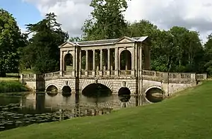 The Palladian Bridge at Stowe House |
| The Queen's Temple at Stowe House | Stowe School, Stowe | Garden temple | 1770 | 25 September 1951 | SP6772337696 52°02′01″N 1°00′51″W |
1211938 | 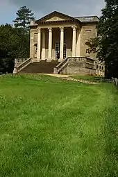 The Queen's Temple at Stowe House |
| The Rotunda at Stowe House | Stowe School, Stowe | Rotunda | 1721 | 25 September 1951 | SP6738737109 52°01′42″N 1°01′09″W |
1289655 | 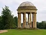 The Rotunda at Stowe House |
| The Temple of Ancient Virtue at Stowe House | Stowe School, Stowe | Garden temple | 1730s | 25 September 1951 | SP6764637296 52°01′48″N 1°00′55″W |
1289786 | 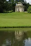 The Temple of Ancient Virtue at Stowe House |
| The Temple of British Worthies at Stowe House | Stowe School, Stowe | Garden temple | c.1735 | 25 September 1951 | SP6777437264 52°01′47″N 1°00′49″W |
1211946 | 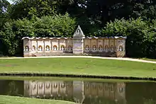 The Temple of British Worthies at Stowe House |
| The Temple of Concord and Victory at Stowe House | Stowe School, Stowe | Garden temple | 1749 | 25 September 1951 | SP6750637709 52°02′01″N 1°01′03″W |
1289755 |  The Temple of Concord and Victory at Stowe House |
| The Temple of Friendship at Stowe House | Stowe School, Stowe | Garden temple | 1739 | 25 September 1951 | SP6801836992 52°01′38″N 1°00′36″W |
1211947 |  The Temple of Friendship at Stowe House |
| The Temple of Venus at Stowe House | Stowe School, Stowe | Garden temple | c.1732 | 25 September 1951 | SP6740736661 52°01′27″N 1°01′08″W |
1212153 |  The Temple of Venus at Stowe House |
| Wolfe Obelisk north of Stowe House | Stowe | Obelisk | c.1760 | 13 July 1966 | SP6746938661 52°02′32″N 1°01′04″W |
1211785 | 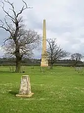 Wolfe Obelisk north of Stowe House |
| Church of St Michael | Thornton | Church | 14th century | 13 July 1966 | SP7521036233 52°01′10″N 0°54′19″W |
1232799 | |
| Church of St Mary | Twyford | Parish church | 12th century | 13 July 1966 | SP6651126670 51°56′04″N 1°02′02″W |
1215009 |  Church of St Mary |
| Parish Church of St Mary Magdalene | Upper Winchendon | Parish church | 12th century | 21 December 1967 | SP7459614494 51°49′27″N 0°55′09″W |
1124721 | 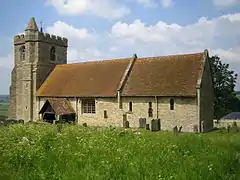 Parish Church of St Mary Magdalene |
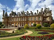
| Waddesdon Manor | Waddesdon Manor Grounds, Waddesdon | Country house | 1874–83 | 21 December 1967 | SP7331116514 51°50′33″N 0°56′14″W |
1117804 | |
| Church of St Giles | Water Stratford | Parish church | Norman | 13 July 1966 | SP6517034294 52°00′12″N 1°03′07″W |
1212825 |  Church of St Giles |
| Church of St Mary | Weston Turville | Parish church | 13th century | 21 December 1967 | SP8593010287 51°47′05″N 0°45′20″W |
1118358 |  Church of St Mary |
| Church of St Mary | Whaddon | Parish church | 12th century | 19 August 1959 | SP8053234074 51°59′57″N 0°49′42″W |
1216538 |  Church of St Mary |
| Church of All Saints | Wing | Parish church | 10th century | 18 October 1966 | SP8802922582 51°53′41″N 0°43′20″W |
1320141 | |
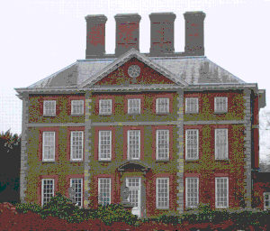
| Winslow Hall | Winslow | Country house | 1700 | 19 August 1959 | SP7709027590 51°56′29″N 0°52′48″W |
1279357 | |
| Wotton House, with walls to pavilions | Wotton Underwood | Country house | 1704–14 | 25 October 1951 | SP6854116191 51°50′24″N 1°00′24″W |
1124221 | |
| Entrance gates and screen across east front of Wotton House, with gazebo and walls to pavilions | Wotton Underwood | Gate | Early 18th century | 25 October 1951 | SP6859916214 51°50′25″N 1°00′21″W |
1124222 |  |
| South Pavilion, Wotton House | Wotton Underwood | House | 1704–14 | 25 October 1951 | SP6858016165 51°50′24″N 1°00′22″W |
1332825 | 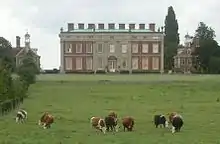 South Pavilion, Wotton House |
| The Clock Pavilion, Wotton House | Wotton Underwood | House | 1704–14 | 25 October 1951 | SP6856816229 51°50′26″N 1°00′22″W |
1275066 |  The Clock Pavilion, Wotton House |
Chiltern
| Name | Location | Type | Completed [note 1] | Date designated | Grid ref.[note 2] Geo-coordinates |
Entry number [note 3] | Image |
|---|---|---|---|---|---|---|---|
| Church of St Mary | Amersham | Church | 13th century | 22 December 1958 | SU9580697380 51°40′01″N 0°36′58″W |
1124855 | |
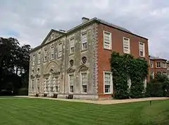
| Shardeloes | Amersham | House | 1758–66 | 22 December 1958 | SU9383797811 51°40′16″N 0°38′40″W |
1238040 | |
| Jordans Meeting House | Jordans, Chalfont St. Giles | Friends meeting house | 1688 | 22 December 1958 | SU9745291021 51°36′35″N 0°35′39″W |
1332449 | |
| Milton's Cottage | Chalfont St. Giles | Timber-framed house | Early 17th century | 22 December 1958 | SU9888893368 51°37′50″N 0°34′22″W |
1125006 | |
| Parish Church of St Giles | Chalfont St. Giles | Parish church | 13th century | 22 December 1958 | SU9910293506 51°37′54″N 0°34′10″W |
1125011 | 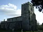 Parish Church of St Giles |
| Church of St Michael | Chenies Village, Chenies | Parish church | 15th century | 30 July 1984 | TQ0157198364 51°40′30″N 0°31′57″W |
1158585 | |
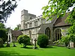
| Chenies Manor House | Chenies Village, Chenies | Manor house | 15th century | 22 December 1958 | TQ0152698312 51°40′28″N 0°31′59″W |
1332531 | |
| Church of St Mary | Chesham | Church | 12th century and later | 10 November 1951 | SP9566901522 51°42′15″N 0°37′01″W |
1124655 | |
| Church of St Peter and St Paul | Great Missenden | Church | 14th century | 22 December 1958 | SP9001501026 51°42′03″N 0°41′56″W |
1124812 | |
| Parish Church of St John the Baptist | Little Missenden | Parish church | 10th century | 22 December 1958 | SU9208798987 51°40′56″N 0°40′10″W |
1332450 | 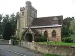 Parish Church of St John the Baptist |
| Parish Church of Holy Trinity | Penn | Parish church | 13th to 15th century | 22 December 1958 | SU9163193278 51°37′51″N 0°40′39″W |
1332439 |  Parish Church of Holy Trinity |
| Old Church of St John the Baptist | The Lee | Parish church | 13th century | 22 December 1958 | SP8977904385 51°43′52″N 0°42′05″W |
1124881 |
Milton Keynes
| Name | Location | Type | Completed [note 1] | Date designated | Grid ref.[note 2] Geo-coordinates |
Entry number [note 3] | Image |
|---|---|---|---|---|---|---|---|
| Chapel to North of Bradwell Abbey House | Bradwell Abbey | Chapel | 14th century | 3 March 1952 | SP8272439580 52°02′54″N 0°47′42″W |
1125271 |  Chapel to North of Bradwell Abbey House |
| Church of St Lawrence | Broughton | Church | 14th and 15th century | 17 November 1966 | SP8938240109 52°03′08″N 0°41′53″W |
1332313 | |
| Church of St Mary Magdalene | Willen, Campbell Park | Church | 1678 | 17 November 1966 | SP8784941221 52°03′45″N 0°43′12″W |
1160998 | |
| Church of St Simon and St Jude (formerly Church of St Simon and St Peter) | Castlethorpe | Parish church | Late 12th century | 17 November 1966 | SP7990944503 52°05′35″N 0°50′06″W |
1115933 | 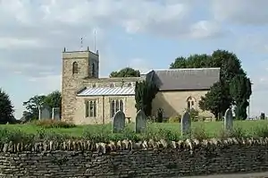 Church of St Simon and St Jude (formerly Church of St Simon and St Peter) |
| Chicheley Hall | Chicheley | Country house | 1719–21 | 3 March 1952 | SP9055645853 52°06′13″N 0°40′45″W |
1212277 | |
| Church of St Laurence | Chicheley | Parish church | 14th century | 17 November 1966 | SP9045845863 52°06′13″N 0°40′51″W |
1289597 | 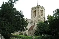 Church of St Laurence |
| Parish Church of St Mary | Clifton Reynes | Parish church | 12th century | 17 November 1966 | SP8990451380 52°09′12″N 0°41′14″W |
1289894 | 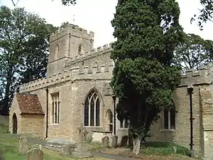 Parish Church of St Mary |
| Church of St Peter | Gayhurst | Parish church | 1728 | 17 November 1966 | SP8465346255 52°06′29″N 0°45′55″W |
1211931 | _-_geograph.org.uk_-_1654108.jpg.webp) Church of St Peter |
| Flat Numbers 13 to 26 (consecutively) (Gayhurst House or Court) | Gayhurst | Country house | 1597–c.1603 | 3 March 1952 | SP8456846260 52°06′30″N 0°46′00″W |
1115951 | |
| Church of St James the Great | Hanslope | Parish church | 12th century | 17 November 1966 | SP8039446717 52°06′47″N 0°49′39″W |
1289671 | 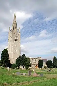 Church of St James the Great |
| Church of St Mary | Hardmead | Parish church | 13th–15th century | 17 November 1966 | SP9350047687 52°07′11″N 0°38′09″W |
1289532 | |
| Parish Church of St Mary | Haversham, Haversham-cum-Little Linford | Parish church | 12th century | 17 November 1966 | SP8276842753 52°04′37″N 0°47′37″W |
1212152 | 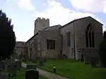 Parish Church of St Mary |
| All Saints Church | Lathbury | Parish church | 12th century | 17 November 1966 | SP8745344991 52°05′47″N 0°43′29″W |
1115931 | |
| Church of St Michael | Lavendon | Church | Anglo-Saxon | 17 November 1966 | SP9160953650 52°10′25″N 0°39′43″W |
1212619 | 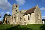 Church of St Michael |
| Church of All Saints | Milton Keynes | Church | 12th century | 17 November 1966 | SP8877439167 52°02′38″N 0°42′25″W |
1125254 | 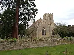 Church of All Saints |
| Church of St Mary | Moulsoe | Parish church | 14th century | 17 November 1966 | SP9065441743 52°04′00″N 0°40′44″W |
1212922 | 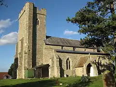 Church of St Mary |
| Church of St Peter and St Paul | Newport Pagnell | Parish church | 1355 | 24 October 1950 | SP8779043957 52°05′13″N 0°43′13″W |
1332203 | 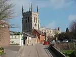 Church of St Peter and St Paul |
| Tickford Bridge | Newport Pagnell | Road bridge | 1810 | 15 June 1971 | SP8780343825 52°05′09″N 0°43′12″W |
1125464 | |
| Church of St Firmin | North Crawley | Parish church | 1100 | 17 November 1966 | SP9268644649 52°05′33″N 0°38′55″W |
1289229 | 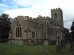 Church of St Firmin |
| Church of Saints Peter and Paul | Olney, Milton Keynes | Church | 14th century | 17 November 1966 | SP8898650968 52°08′59″N 0°42′03″W |
1125308 | 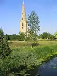 Church of Saints Peter and Paul |
| Church of All Saints | Ravenstone | Parish church | 11th century | 17 November 1966 | SP8505150896 52°08′59″N 0°45′30″W |
1320219 | 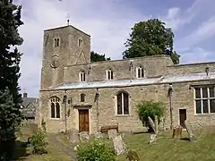 Church of All Saints |
| Church of St Mary | Shenley Church End | Church | 12th century | 17 November 1966 | SP8318336700 52°01′21″N 0°47′21″W |
1160730 | 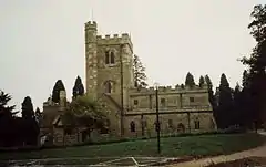 Church of St Mary |
| Church of St Laud | Sherington | Parish church | Mid-13th century | 17 November 1966 | SP8901946788 52°06′44″N 0°42′05″W |
1212353 | 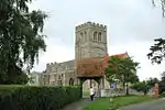 Church of St Laud |
| Church of St Peter | Stoke Goldington | Parish church | 12th century | 17 November 1966 | SP8316949193 52°08′05″N 0°47′11″W |
1289474 |  Church of St Peter |
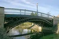
| Tyringham Bridge | Tyringham, Tyringham and Filgrave | Bridge | 1793 | 3 March 1952 | SP8579846526 52°06′37″N 0°44′55″W |
1320229 | .jpg.webp) Tyringham Bridge |
| Tyringham Hall | Tyringham, Tyringham and Filgrave | Country house | 1793–97 | 3 March 1952 | SP8557246909 52°06′50″N 0°45′06″W |
1115849 | |
| Stable block to north-east of Tyringham Hall | Tyringham, Tyringham and Filgrave | Stable | 1793 | 3 March 1952 | SP8566646985 52°06′52″N 0°45′01″W |
1289308 |  |
| Tyringham Lodges | Tyringham and Filgrave | Gate lodge | 1793–97 | 3 March 1952 | SP8580646393 52°06′33″N 0°44′55″W |
1115893 | 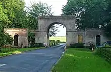 Tyringham Lodges |
| Church of St Mary | Bletchley, West Bletchley | Church | Late 13th century onwards | 28 June 1954 | SP8630533789 51°59′45″N 0°44′40″W |
1125430 | 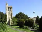 Church of St Mary |
| Church of St Lawrence | Weston Underwood | Parish church | 12th century | 17 November 1966 | SP8636350366 52°08′41″N 0°44′22″W |
1115832 | 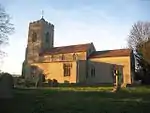 Church of St Lawrence |
South Bucks
| Name | Location | Type | Completed [note 1] | Date designated | Grid ref.[note 2] Geo-coordinates |
Entry number [note 3] | Image |
|---|---|---|---|---|---|---|---|
| Burnham Abbey | Burnham | Chapter house | 13th century | 23 September 1955 | SU9307580463 51°30′56″N 0°39′36″W |
1124475 | |
| Church of St Mary | Hitcham, Burnham | Parish church | 12th century | 23 September 1955 | SU9200182588 51°32′05″N 0°40′30″W |
1309911 | 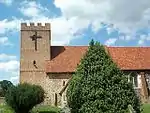 Church of St Mary |
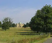
| Dropmore | Burnham | Country house | 1792–95 | 23 September 1955 | SU9266886027 51°33′56″N 0°39′52″W |
1317133 | |
| Aviary at Dropmore | Taplow | Aviary | Early 19th century | 26 April 1985 | SU9256386046 51°33′57″N 0°39′57″W |
1332401 |  |
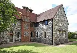
| Huntercombe Manor | Burnham | Hall house | 14th century | 23 September 1955 | SU9314380652 51°31′02″N 0°39′33″W |
1309887 | _(20401221878).jpg.webp) Huntercombe Manor |
| Church of St Mary | Denham | Parish church | Norman | 23 September 1955 | TQ0430286993 51°34′20″N 0°29′47″W |
1309616 | 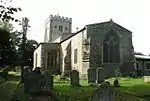 Church of St Mary |
| Denham Place | Denham | Country house | 1688–1701 | 22 September 1954 | TQ0393387154 51°34′25″N 0°30′06″W |
1124467 | 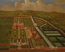 Denham Place |
| Savay Farm, The Savay | Denham | Hall house | 14th century | 23 September 1955 | TQ0468488047 51°34′54″N 0°29′26″W |
1332700 |  |
| Chapel of St Mary Magdalene | Boveney | Chapel | 12th century | 23 September 1955 | SU9400277681 51°29′25″N 0°38′51″W |
1309414 | |
| Church of St James | Dorney | Parish church | 12th century | 23 September 1955 | SU9249379006 51°30′09″N 0°40′08″W |
1162809 | 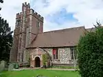 Church of St James |
| Dorney Court | Dorney | Country house | c.1500 | 23 September 1955 | SU9252479028 51°30′09″N 0°40′06″W |
1124439 | |
| Church of St Peter | Iver | Church | 11th–15th century | 23 September 1955 | TQ0397881172 51°31′12″N 0°30′10″W |
1332743 | 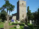 Church of St Peter |
| Church of St Giles | Stoke Poges | Parish church | 12th–16th century | 23 September 1955 | SU9755482728 51°32′06″N 0°35′42″W |
1164966 | 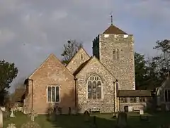 Church of St Giles |
| Stoke Park | Stoke Poges | Country house | 1789 | 23 September 1955 | SU9700882653 51°32′04″N 0°36′10″W |
1332731 | |
| Manor House | Stoke Park, Stoke Poges | Manor house | c.1550 | 23 September 1955 | SU9753782865 51°32′11″N 0°35′42″W |
1165194 | 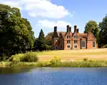 Manor House |
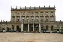
| Cliveden | Cliveden, Taplow | Country house | 1674–77 | 23 September 1955 | SU9102885179 51°33′29″N 0°41′18″W |
1125041 | |
| Blenheim Pavilion, Cliveden | Cliveden, Taplow | Pavilion | c.1735 | 23 September 1955 | SU9128385563 51°33′42″N 0°41′04″W |
1125045 | .jpg.webp) Blenheim Pavilion, Cliveden |
| Chapel | Cliveden, Taplow | Gazebo | c.1735 | 23 September 1955 | SU9091785058 51°33′26″N 0°41′24″W |
1165582 | _(7958617328).jpg.webp) Chapel |
| Terrace wall to garden front, Cliveden | Cliveden, Taplow | Terrace | Late 19th century | 23 September 1955 | SU9100785164 51°33′29″N 0°41′19″W |
1125044 | 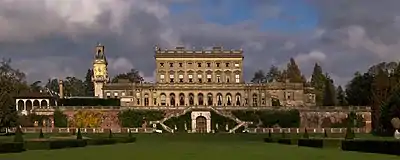 Terrace wall to garden front, Cliveden |
| Maidenhead Bridge | Taplow | Bridge | 1777 | 27 February 1950 | SU9014581356 51°31′26″N 0°42′07″W |
1117619 | |
| Maidenhead Railway Bridge | Taplow | Railway viaduct | 1837–39 and 1890–93 | 26 April 1985 | SU9016881045 51°31′16″N 0°42′06″W |
1125021 |
Wycombe
| Name | Location | Type | Completed [note 1] | Date designated | Grid ref.[note 2] Geo-coordinates |
Entry number [note 3] | Image |
|---|---|---|---|---|---|---|---|
| Church of the Holy Trinity | Bledlow, Bledlow-cum-Saunderton | Parish church | 12th century | 21 June 1955 | SP7784302175 51°42′46″N 0°52′29″W |
1125801 | 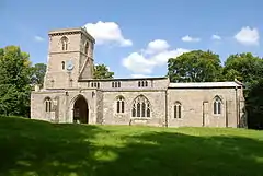 Church of the Holy Trinity |
| Chequers | Ellesborough | Country house | 1565 | 21 June 1955 | SP8419605663 51°44′36″N 0°46′55″W |
1125879 | |
| Fawley Court | Fawley | Country house | 1684 | 7 July 1952 | SU7652084214 51°33′06″N 0°53′52″W |
1125740 | |
| Church [of St Mary Magdalene] | Little Hampden, Great and Little Hampden | Parish church | 12th century | 21 June 1955 | SP8605203552 51°43′27″N 0°45′20″W)] |
1125857 | 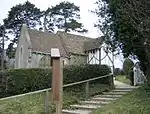 Church [of St Mary Magdalene] |
| Hampden House | Great Hampden, Great and Little Hampden | Country house | Late 16th century | 21 June 1955 | SP8486102456 51°42′52″N 0°46′23″W |
1311378 | |
| Church of All Saints | Little Kimble, Great and Little Kimble | Church | 12th century | 21 June 1955 | SP8265206414 51°45′01″N 0°48′15″W |
1158922 | 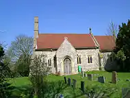 Church of All Saints |
| Church of St Nicholas | Great and Little Kimble | Parish church | 13th century | 21 June 1955 | SP8254705966 51°44′47″N 0°48′21″W |
1311260 | 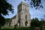 Church of St Nicholas |
| Harleyford Manor | Harleyford, Great Marlow | Villa | 1755 | 29 September 1950 | SU8267684492 51°33′12″N 0°48′32″W |
1311225 | |
| Church of St Bartholomew | Fingest, Hambleden | Parish church | Early 12th century | 21 June 1955 | SU7767091149 51°36′50″N 0°52′47″W |
1125708 | 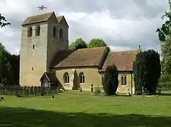 Church of St Bartholomew |
| Hughenden Manor | Hughenden Park, Hughenden Valley | Country house | 1738 | 21 June 1955 | SU8611995334 51°39′01″N 0°45′24″W |
1125785 | |
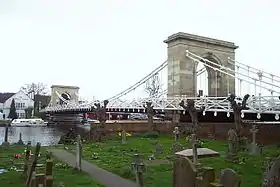
| Marlow Bridge | Marlow | Suspension bridge | 1831–36 | 16 July 1949 | SU8511586123 51°34′03″N 0°46′24″W |
1332381 | |
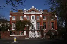
| Marlow Place | Marlow | House | 1720 | 16 July 1949 | SU8509586395 51°34′12″N 0°46′25″W |
1234824 | |
| Church of St Dunstan | Monks Risborough, Princes Risborough | Parish church | Early 14th century | 21 June 1955 | SP8126704419 51°43′57″N 0°49′29″W |
1125811 | |
| Church of St Mary | Radnage | Parish church | Late 12th–early 13th century | 21 June 1955 | SU7860497948 51°40′29″N 0°51′53″W |
1310495 | 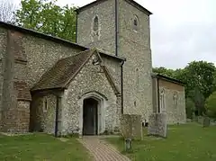 Church of St Mary |
| Church of St Lawrence | West Wycombe | Church | 1751–63 | 9 January 1954 | SU8273794963 51°38′51″N 0°48′20″W |
1125117 | |
| The Mausoleum | West Wycombe | Mausoleum | Early 18th century | 9 January 1954 | SU8278894917 51°38′49″N 0°48′18″W |
1160467 | 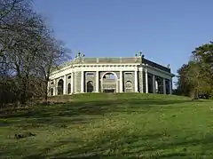 The Mausoleum |
| West Wycombe Park House | West Wycombe | House | Late 17th century or early 18th century | 9 January 1954 | SU8288294290 51°38′29″N 0°48′13″W |
1160521 | .png.webp) West Wycombe Park House |
| Church of All Saints | High Wycombe | Church | Rebuilt 1273 | 9 January 1954 | SU8656493084 51°37′48″N 0°45′03″W |
1125180 | 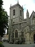 Church of All Saints |
| Guildhall | High Wycombe | Guildhall | 1604 | 9 January 1954 | SU8652293021 51°37′46″N 0°45′05″W |
1332349 |
Notes
- The date given is the date used by Historic England as significant for the initial building or that of an important part in the structure's description.
- Sometimes known as OSGB36, the grid reference is based on the British national grid reference system used by the Ordnance Survey.
- The "List Entry Number" is a unique number assigned to each listed building and scheduled monument by Historic England.
References
- "Listed Buildings". English Heritage. 2010. Archived from the original on 24 January 2013. Retrieved 22 August 2011.
- National Heritage List for England] Images of England (original source)
- http://www.heritagegateway.org.uk/Gateway/Advanced_Search.aspx?reset=true English Heritage Gateway (used to update)
External links
![]() Media related to Grade I listed buildings in Buckinghamshire at Wikimedia Commons
Media related to Grade I listed buildings in Buckinghamshire at Wikimedia Commons
This article is issued from Wikipedia. The text is licensed under Creative Commons - Attribution - Sharealike. Additional terms may apply for the media files.
.jpg.webp)



.jpg.webp)




_p1.106_-_Dropmore%252C_Buckinghamshire.jpg.webp)

.jpg.webp)
.jpg.webp)
.JPG.webp)
