Mount McConnel
Mount McConnel is a mountain summit in the Mummy Range of the Rocky Mountains of North America. The 8,012-foot (2,442 m) peak is located in the Cache La Poudre Wilderness of Roosevelt National Forest, 22.7 miles (36.5 km) west-northwest (bearing 292°) of the City of Fort Collins in Larimer County, Colorado, United States.[1][2][3] The summit can be reached via the Mount McConnel National Recreation Trail.
| Mount McConnel | |
|---|---|
 Mount McConnel | |
| Highest point | |
| Elevation | 8,012 ft (2,442 m) [1][2] |
| Prominence | 508 ft (155 m) [2] |
| Isolation | 1.83 mi (2.95 km) [2] |
| Coordinates | 40°40′20″N 105°27′52″W [3] |
| Geography | |
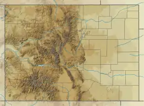
| Location | Larimer County, Colorado, U.S.[3] |
| Parent range | Mummy Range[2] |
| Topo map | USGS 7.5' topographic map Big Narrows, Colorado[3] |
| Climbing | |
| Easiest route | hike |
Mountain
See also
References
- The elevation of Mount McConnel includes an adjustment of +1.147 m (+3.76 ft) from NGVD 29 to NAVD 88.
- "Mount McConnel, Colorado". Peakbagger.com. Retrieved November 6, 2014.
- "Mount McConnel". Geographic Names Information System. United States Geological Survey. Retrieved November 6, 2014.
External links

This article is issued from Wikipedia. The text is licensed under Creative Commons - Attribution - Sharealike. Additional terms may apply for the media files.