Clinton Peak
Clinton Peak is a high mountain summit in the Mosquito Range of the Rocky Mountains of North America. The 13,864-foot (4,226 m) thirteener is located 2.1 miles (3.3 km) east (bearing 86°) of Fremont Pass, Colorado, United States, on the Continental Divide separating San Isabel National Forest and Lake County from Pike National Forest and Park County.[1][2][3][4]
| Clinton Peak | |
|---|---|
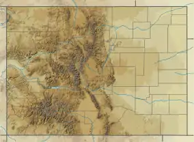 Clinton Peak Colorado | |
| Highest point | |
| Elevation | 13,864 ft (4,226 m) [1][2] |
| Prominence | 517 ft (158 m) [3] |
| Isolation | 2.03 mi (3.27 km) [3] |
| Coordinates | 39°22′06″N 106°08′56″W [1] |
| Geography | |
| Location | Continental Divide between Lake and Park counties, Colorado, United States[4] |
| Parent range | Mosquito Range[3] |
| Topo map | USGS 7.5' topographic map Climax, Colorado[1] |
Mountain
See also
References
- "CLINTON ET". NGS data sheet. U.S. National Geodetic Survey. Retrieved October 19, 2014.
- The elevation of Clinton Peak includes an adjustment of +2.075 m (+6.81 ft) from NGVD 29 to NAVD 88.
- "Clinton Peak, Colorado". Peakbagger.com. Retrieved October 19, 2014.
- "Clinton Peak". Geographic Names Information System. United States Geological Survey. Retrieved October 29, 2014.
External links

This article is issued from Wikipedia. The text is licensed under Creative Commons - Attribution - Sharealike. Additional terms may apply for the media files.