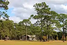
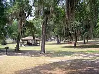
List of Georgia state parks

This is a list of state parks in Georgia. The park system of the US state of Georgia was founded in 1931 with Indian Springs State Park and Vogel State Park. Indian Springs has been operated by the state as a public park since 1825, making it perhaps the oldest state park in the United States. The newest state park is Don Carter.[1]
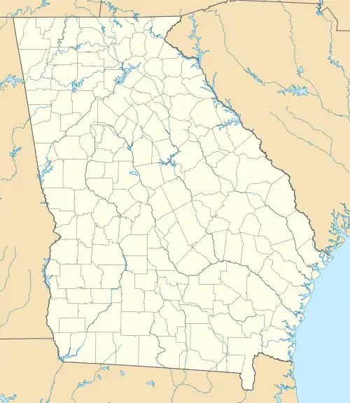
Location of Georgia state parks
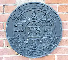
Georgia State Parks Dept. seal, ca. 1939

Since the economic crash of 2008, Georgia has halved the budget for the Division of State Parks and Historic Sites and turned over the management of five of the parks to Coral Hospitality, a Florida-based hotel and resort management company. The five parks are Amicalola Falls State Park & Lodge, Unicoi State Park & Lodge, Little Ocmulgee State Park & Lodge, Georgia Veterans State Park, and George T. Bagby State Park.[2]

State parks

Park name County or counties Size Location Water body(s) Image
acres ha
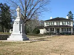
A.H. Stephens State ParkTaliaferro1,177 47633°33′44.16″N 82°53′44.56″WAlexander Stevens State Park Lake
Amicalola Falls State Park & LodgeDawson829 33534°34′34.11″N 84°14′10.5″WAmicalola Falls
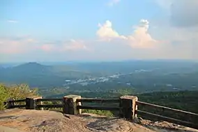
Black Rock Mountain State ParkRabun1,743 70534°54′34″N 83°24′55″WBlack Rock Lake
Chattahoochee Bend State Park[3]Coweta2,910 1,18033°25′58.05″N 84°59′10.13″WChattahoochee River
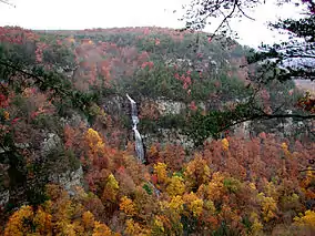
Cloudland Canyon State ParkDade3,488 1,41234°48′57.96″N 85°29′21.12″WHemlock Falls
Crooked River State ParkCamden500 20030°50′35″N 81°33′29″WIntracoastal Waterway
Don Carter State Park[1] Hall1,316 53334°23′5.44″N 83°44′35.68″WLake Lanier
Elijah Clark State ParkLincoln447 18133°51′16.2″N 82°25′10.54″WClarks Hill Lake
F. D. Roosevelt State ParkHarris, Meriwether9,049 3,66232°49′55″N 84°48′29″W
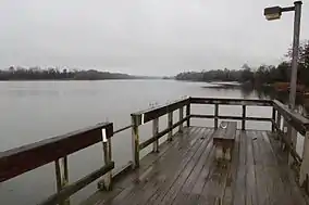
Florence Marina State ParkStewart173 7032°5′26.88″N 85°2′35.99″WWalter F. George Lake
Fort McAllister State ParkBryan1,725 69831°53′28″N 81°11′46″WOgeechee River & Atlantic Ocean
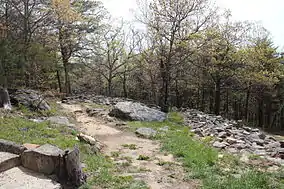
Fort Mountain State ParkMurray3,712 1,50234°45′39.3″N 84°42′25.8″WFort Mountain Lake
Fort Yargo State ParkBarrow1,816 73533°58′10.64″N 83°43′46.6″WFort Yargo Lake
General Coffee State ParkCoffee1,511 61131°31′26.4″N 82°46′1.2″W
George L. Smith State ParkEmanuel1,634 66132°33′43.2″N 82°6′46.8″WParish Pond
George T. Bagby State ParkClay700 28031°39′57.6″N 85°3′25.2″WWalter F. George Lake
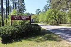
Georgia Veterans State ParkCrisp1,308 52931°57′23″N 83°54′58″WLake Blackshear
Gordonia-Alatamaha State ParkTattnall662 26832°5′31.51″N 82°8′9.61″WAltamaha River
Hamburg State ParkWarren741 30033°12′28.37″N 82°47′20.05″WHamburg Mill Pond
Hard Labor Creek State ParkMorgan5,804 2,34933°39′49.88″N 83°36′22.15″WHard Labor Creek
Hart State Outdoor Recreation AreaHart147 5934°22′35.16″N 82°54′38.4″WLake Hartwell
High Falls State ParkMonroe1,050 42033°10′44.31″N 84°1′10.73″WTowaliga River
Indian Springs State ParkButts528 21433°14′38″N 83°55′52″WSandy Creek
James H. Floyd State ParkChattooga561 22734°26′13.83″N 85°20′22.47″WSloppy Floyd Lake
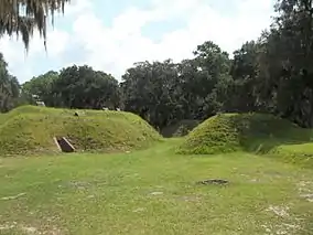
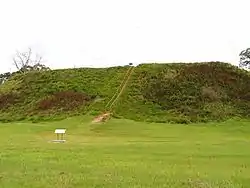
Kolomoki Mounds State ParkEarly1,293 52331°28′17.28″N 84°55′45.72″WYahola & Kolomoki Lakes
Laura S. Walker State ParkWare626 25331°8′10.67″N 82°12′36.3″WLaura S. Walker Lake
Little Ocmulgee State Park & LodgeTelfair1,360 55032°5′32.17″N 82°53′49.11″WLittle Ocmulgee Lake
Magnolia Springs State ParkJenkins1,070 43032°53′12″N 81°57′20″WMagnolia Springs State Park Lake
Mistletoe State ParkColumbia1,920 78033°38′37.56″N 82°23′2.7″WClarks Hill Lake
Moccasin Creek State ParkRabun32 1334°49′36.84″N 83°33′18.36″WLake Burton
Panola Mountain State ParkHenry1,635 66233°38′7″N 84°10′13″WAlexander Lake & South River
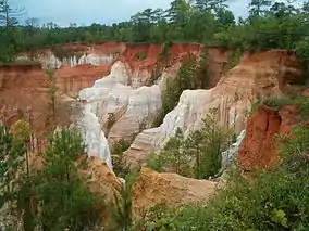
Providence Canyon State Outdoor Recreation AreaStewart1,003 40632°3′47.44″N 84°55′11.58″W
Red Top Mountain State ParkBartow1,776 71934°9′5.4″N 84°42′55.8″WLake Allatoona
Reed Bingham State ParkColquitt1,613 65331°10′14.49″N 83°33′16.98″WReed Bingham Lake
Richard B. Russell State ParkElbert2,508 1,01534°10′41.09″N 82°45′40.89″WRussell Lake
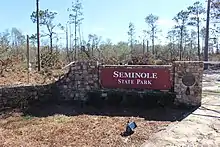
Seminole State ParkSeminole604 24430°48′18.61″N 84°52′44.2″WLake Seminole
Skidaway Island State ParkChatham588 23831°56′13.41″N 81°3′7.98″WIntracoastal Waterway
Smithgall Woods State ParkWhite5,664 2,29234°41′30.57″N 83°46′4.71″WDukes Creek
Stephen C. Foster State Park Charlton80 3230°49′35.86″N 82°22′45.9″WSuwannee River
Sweetwater Creek State ParkDouglas2,549 1,03233°45′30″N 84°38′10″W Sweetwater Creek
Tallulah Gorge State ParkRabun, Habersham2,739 1,10834°43′30″N 83°22′13″WTallulah River
Tugaloo State ParkFranklin393 15934°29′41.37″N 83°4′4.54″W Lake Hartwell
Unicoi State Park & LodgeWhite1,050 42034°43′22.92″N 83°43′20.28″WUnicoi Lake
Victoria Bryant State ParkFranklin502 20334°18′4.23″N 83°9′35.52″WNorth Fork of the Broad River
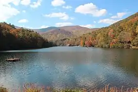
Vogel State ParkUnion233 9434°45′46″N 83°55′40″WLake Trahlyta
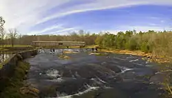
Watson Mill Bridge State ParkMadison1,118 45234°1′34″N 83°4′23″WSouth Fork of the Broad River

Historic sites

Park name County or Counties Size Location Image
acres ha
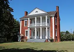
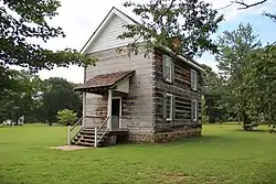
Chief Vann House State Historic SiteMurray137 5534°45′47.21″N 84°49′19.14″W
Dahlonega Gold Museum State Historic SiteLumpkin34°31′57.62″N 83°59′5.46″W
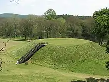
Etowah Indian Mounds State Historic SiteBartow54 2234°7′40.83″N 84°48′25.42″W
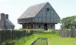
Fort King George State Historic SiteMcIntosh12 4.931°21′59.18″N 81°24′57.13″W
Fort Morris State Historic SiteLiberty67 2731°45′36.2″N 81°17′22.14″W
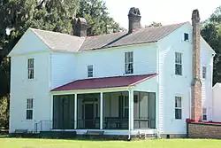
Hardman Farm State Historic Site[4]White173 7034°41′5.97″N 83°42′29.73″W
Hofwyl-Broadfield Plantation State Historic SiteGlynn1,286 52031°18′18.09″N 81°27′19.83″W
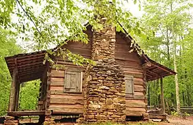
Jarrell Plantation State Historic SiteMonroe200 8133°2′53.29″N 83°43′9.93″W
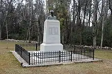
Jefferson Davis Memorial State Historic SiteIrwin13 5.331°39′52.38″N 83°23′12.07″W
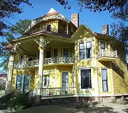
Lapham-Patterson House State Historic SiteThomas30°50′44.2″N 83°58′58.45″W
New Echota State Historic SiteGordon200 8134°32′27.55″N 84°54′33.59″W
Pickett's Mill Battlefield State Historic SitePaulding765 31033°58′26.41″N 84°45′32.93″W
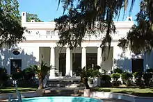
Reynolds Mansion on Sapelo IslandMcIntosh6,110 2,47031°23′49.57″N 81°16′37.38″W
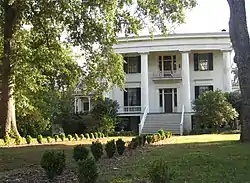
Robert Toombs House State Historic SiteWilkes33°44′10.07″N 82°44′1.91″W
Little White House State Historic SiteMeriwether32°52′52.99″N 84°41′15.48″W
Traveler's Rest State Historic SiteStephens4 1.634°36′33.26″N 83°14′19.73″W
Wormsloe State Historic SiteChatham822 33331°58′48.69″N 81°4′9.26″W

Other

  • Jekyll Island was formerly a state park, but since 1951 it has been managed by the Jekyll Island Authority, a self-supporting state agency.
  • Lake Lanier Islands were leased from the US Army Corps of Engineers by the Georgia Department of State Parks for a recreation resort. The islands are now managed by a private company.
  • Stone Mountain Park is owned by the state and managed by the self-sufficient state agency, the Stone Mountain Memorial Association. It is operated as an amusement park under a contact with the Herschend Family Entertainment Corporation.

See also

  • List of U.S. national parks

References

  1. "Don Carter State Park". State Parks & Historic Sites. February 21, 2017. Retrieved September 24, 2017.
  2. Omarzu, Tim (May 29, 2013). "Georgia tries to balance cuts with need to draw visitors to state parks". TimesFreePress.com. Retrieved September 25, 2017.
  3. "Chattahoochee Bend State Park". State Parks & Historic Sites. March 3, 2017. Retrieved September 24, 2017.
  4. "The Georgia Trust". www.georgiatrust.org. Retrieved September 24, 2017.
This article is issued from Wikipedia. The text is licensed under Creative Commons - Attribution - Sharealike. Additional terms may apply for the media files.