National Register of Historic Places listings in Stone County, Arkansas
This is a list of the National Register of Historic Places listings in Stone County, Arkansas.
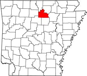
Location of Stone County in Arkansas
This is intended to be a complete list of the properties and districts on the National Register of Historic Places in Stone County, Arkansas, United States. The locations of National Register properties and districts for which the latitude and longitude coordinates are included below, may be seen in a map.[1]
There are 56 properties and districts listed on the National Register in the county.
- This National Park Service list is complete through NPS recent listings posted January 29, 2021.[2]
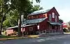
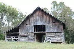
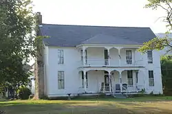
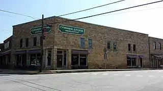
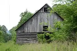
Current listings


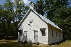


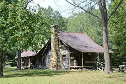

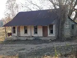
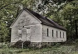
.JPG.webp)
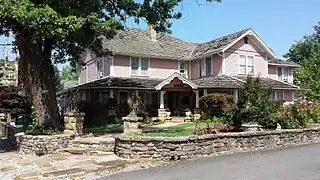

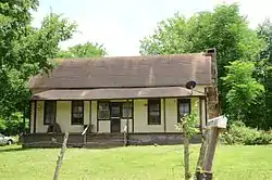

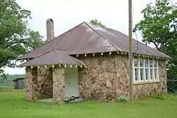


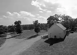
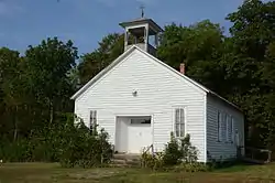
.JPG.webp)


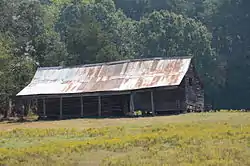
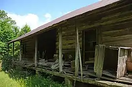
Former listings
| [3] | Name on the Register | Image | Date listed | Date removed | Location | City or town | Summary |
|---|---|---|---|---|---|---|---|
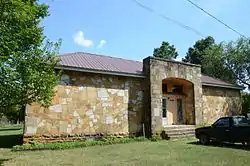
| 1 | John L. Lancaster House | September 17, 1985 (#85002235) | May 27, 2014 | Off AR 66 |
Mountain View | Part of the Stone County MRA | |
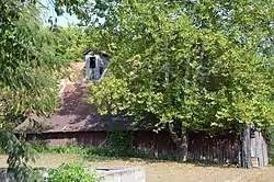
| 2 | Stone County Recorder Building | September 17, 1985 (#85002242) | May 27, 2014 | Off AR 66 |
Mountain View | Part of the Stone County MRA |
See also
| Wikimedia Commons has media related to National Register of Historic Places in Stone County, Arkansas. |
References
- The latitude and longitude information provided in this table was derived originally from the National Register Information System, which has been found to be fairly accurate for about 99% of listings. Some locations in this table may have been corrected to current GPS standards.
- "National Register of Historic Places: Weekly List Actions". National Park Service, United States Department of the Interior. Retrieved on January 29, 2021.
- Numbers represent an alphabetical ordering by significant words. Various colorings, defined here, differentiate National Historic Landmarks and historic districts from other NRHP buildings, structures, sites or objects.
- "National Register Information System". National Register of Historic Places. National Park Service. March 13, 2009.
- The eight-digit number below each date is the number assigned to each location in the National Register Information System database, which can be viewed by clicking the number.
| Topics | |
|---|---|
| Lists by state |
|
| Lists by insular areas | |
| Lists by associated state | |
| Other areas | |
| Related | |
| |
Municipalities and communities of Stone County, Arkansas, United States | ||
|---|---|---|
| Cities | Map of Arkansas highlighting Stone County | |
| Unincorporated communities | ||
| Ghost town | ||
| ||
This article is issued from Wikipedia. The text is licensed under Creative Commons - Attribution - Sharealike. Additional terms may apply for the media files.