Baudres
Baudres is a commune in the Indre département in central France.
Baudres | |
|---|---|
_-_La_rue_de_la_Mairie.jpg.webp) The church and the main road in the centre of Baudres | |
Location of Baudres 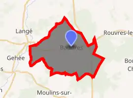
| |
 Baudres  Baudres | |
| Coordinates: 47°03′30″N 1°34′45″E | |
| Country | France |
| Region | Centre-Val de Loire |
| Department | Indre |
| Arrondissement | Châteauroux |
| Canton | Levroux |
| Intercommunality | Région de Levroux |
| Government | |
| • Mayor (2008–2014) | Jean-Roger Reuillon |
| Area 1 | 27.4 km2 (10.6 sq mi) |
| Population (2017-01-01)[1] | 438 |
| • Density | 16/km2 (41/sq mi) |
| Time zone | UTC+01:00 (CET) |
| • Summer (DST) | UTC+02:00 (CEST) |
| INSEE/Postal code | 36013 /36110 |
| Elevation | 110–206 m (361–676 ft) (avg. 80 m or 260 ft) |
| 1 French Land Register data, which excludes lakes, ponds, glaciers > 1 km2 (0.386 sq mi or 247 acres) and river estuaries. | |
Population
|
|
See also
References
- "Populations légales 2017". INSEE. Retrieved 6 January 2020.
| Wikimedia Commons has media related to Baudres. |
| Authority control |
|---|
This article is issued from Wikipedia. The text is licensed under Creative Commons - Attribution - Sharealike. Additional terms may apply for the media files.