Chalais, Indre
Chalais is a commune in the Indre department in central France.
Chalais | |
|---|---|
 The church of Saint-Léobon, in Chalais | |
Location of Chalais 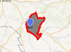
| |
 Chalais  Chalais | |
| Coordinates: 46°32′15″N 1°11′52″E | |
| Country | France |
| Region | Centre-Val de Loire |
| Department | Indre |
| Arrondissement | Le Blanc |
| Canton | Saint-Gaultier |
| Government | |
| • Mayor (2008–2014) | Jean Boutet |
| Area 1 | 39.65 km2 (15.31 sq mi) |
| Population (2017-01-01)[1] | 140 |
| • Density | 3.5/km2 (9.1/sq mi) |
| Time zone | UTC+01:00 (CET) |
| • Summer (DST) | UTC+02:00 (CEST) |
| INSEE/Postal code | 36036 /36370 |
| Elevation | 95–161 m (312–528 ft) (avg. 144 m or 472 ft) |
| 1 French Land Register data, which excludes lakes, ponds, glaciers > 1 km2 (0.386 sq mi or 247 acres) and river estuaries. | |
Geography
The commune is located in the parc naturel régional de la Brenne.
The river Anglin flows northwest through the southwestern part of the commune.
Population
|
|
See also
References
- "Populations légales 2017". INSEE. Retrieved 6 January 2020.
| Wikimedia Commons has media related to Chalais (Indre). |
| Authority control |
|---|
This article is issued from Wikipedia. The text is licensed under Creative Commons - Attribution - Sharealike. Additional terms may apply for the media files.