Villars-Colmars
Villars-Colmars is a commune in the Alpes-de-Haute-Provence department in southeastern France.
Villars-Colmars | |
|---|---|
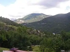 The landscape around Villars-Colmars | |
 Coat of arms | |
Location of Villars-Colmars 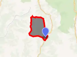
| |
 Villars-Colmars  Villars-Colmars | |
| Coordinates: 44°10′03″N 6°36′18″E | |
| Country | France |
| Region | Provence-Alpes-Côte d'Azur |
| Department | Alpes-de-Haute-Provence |
| Arrondissement | Castellane |
| Canton | Castellane |
| Government | |
| • Mayor (2008–2014) | André Guirand |
| Area 1 | 40.59 km2 (15.67 sq mi) |
| Population (2017-01-01)[1] | 246 |
| • Density | 6.1/km2 (16/sq mi) |
| Time zone | UTC+01:00 (CET) |
| • Summer (DST) | UTC+02:00 (CEST) |
| INSEE/Postal code | 04240 /04370 |
| Elevation | 1,164–2,642 m (3,819–8,668 ft) (avg. 1,223 m or 4,012 ft) |
| 1 French Land Register data, which excludes lakes, ponds, glaciers > 1 km2 (0.386 sq mi or 247 acres) and river estuaries. | |
Population
|
|
References
- "Populations légales 2017". INSEE. Retrieved 6 January 2020.
| Wikimedia Commons has media related to Villars-Colmars. |
This article is issued from Wikipedia. The text is licensed under Creative Commons - Attribution - Sharealike. Additional terms may apply for the media files.