Lapeyrouse, Ain
Lapeyrouse is a commune in the Ain department in eastern France.
Lapeyrouse | |
|---|---|
.jpg.webp) The church in Lapeyrouse | |
Location of Lapeyrouse 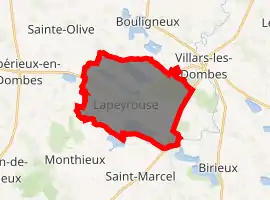
| |
 Lapeyrouse  Lapeyrouse | |
| Coordinates: 45°59′02″N 4°58′39″E | |
| Country | France |
| Region | Auvergne-Rhône-Alpes |
| Department | Ain |
| Arrondissement | Bourg-en-Bresse |
| Canton | Villars-les-Dombes |
| Intercommunality | Centre Dombes |
| Government | |
| • Mayor (2008–2014) | Gilles Dubost |
| Area 1 | 20.04 km2 (7.74 sq mi) |
| Population (2017-01-01)[1] | 316 |
| • Density | 16/km2 (41/sq mi) |
| Time zone | UTC+01:00 (CET) |
| • Summer (DST) | UTC+02:00 (CEST) |
| INSEE/Postal code | 01207 /01330 |
| Elevation | 277–295 m (909–968 ft) (avg. 293 m or 961 ft) |
| 1 French Land Register data, which excludes lakes, ponds, glaciers > 1 km2 (0.386 sq mi or 247 acres) and river estuaries. | |
Geography
The village lies in the middle of the commune, which counts numerous ponds.
The Chalaronne has its source in the commune.
Population
|
|
See also
References
- "Populations légales 2017". INSEE. Retrieved 6 January 2020.
External links
| Wikimedia Commons has media related to Lapeyrouse (Ain). |
This article is issued from Wikipedia. The text is licensed under Creative Commons - Attribution - Sharealike. Additional terms may apply for the media files.