Saint-Rémy, Ain
Saint-Rémy is a commune in the Ain department in eastern France.
Saint-Rémy | |
|---|---|
 The town hall in Saint-Rémy | |
Location of Saint-Rémy 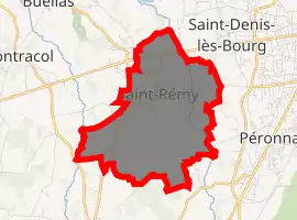
| |
 Saint-Rémy  Saint-Rémy | |
| Coordinates: 46°11′24″N 5°10′09″E | |
| Country | France |
| Region | Auvergne-Rhône-Alpes |
| Department | Ain |
| Arrondissement | Bourg-en-Bresse |
| Canton | Bourg-en-Bresse-2 |
| Intercommunality | CA Bassin de Bourg-en-Bresse |
| Government | |
| • Mayor (2020–2026) | Martine Dusonchet |
| Area 1 | 7.38 km2 (2.85 sq mi) |
| Population (2017-01-01)[1] | 994 |
| • Density | 130/km2 (350/sq mi) |
| Time zone | UTC+01:00 (CET) |
| • Summer (DST) | UTC+02:00 (CEST) |
| INSEE/Postal code | 01385 /01310 |
| Elevation | 216–265 m (709–869 ft) |
| 1 French Land Register data, which excludes lakes, ponds, glaciers > 1 km2 (0.386 sq mi or 247 acres) and river estuaries. | |
Geography
The Veyle river flows north through the middle of the commune.
Population
|
|
See also
References
- "Populations légales 2017". INSEE. Retrieved 6 January 2020.
| Wikimedia Commons has media related to Saint-Rémy (Ain). |
This article is issued from Wikipedia. The text is licensed under Creative Commons - Attribution - Sharealike. Additional terms may apply for the media files.
