Viriat
Viriat is a commune in the Ain department of eastern France.
Viriat | |
|---|---|
 The Jugnon | |
.svg.png.webp) Coat of arms | |
Location of Viriat 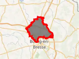
| |
 Viriat  Viriat | |
| Coordinates: 46°15′11″N 5°12′58″E | |
| Country | France |
| Region | Auvergne-Rhône-Alpes |
| Department | Ain |
| Arrondissement | Bourg-en-Bresse |
| Canton | Bourg-en-Bresse-1 |
| Intercommunality | CA Bassin de Bourg-en-Bresse |
| Government | |
| • Mayor (2020–2026) | Bernard Perret |
| Area 1 | 45.35 km2 (17.51 sq mi) |
| Population (2017-01-01)[1] | 6,418 |
| • Density | 140/km2 (370/sq mi) |
| Time zone | UTC+01:00 (CET) |
| • Summer (DST) | UTC+02:00 (CEST) |
| INSEE/Postal code | 01451 /01440 |
| Elevation | 206–257 m (676–843 ft) (avg. 230 m or 750 ft) |
| 1 French Land Register data, which excludes lakes, ponds, glaciers > 1 km2 (0.386 sq mi or 247 acres) and river estuaries. | |
History
Settlement there goes back to at least the Celtic period.
In the twelfth century, the name "Viriacus" appears in a record, referring to church and a priory.
Population
|
|
See also
References
- "Populations légales 2017". INSEE. Retrieved 6 January 2020.
External links
| Wikimedia Commons has media related to Viriat. |
| Authority control |
|
|---|
This article is issued from Wikipedia. The text is licensed under Creative Commons - Attribution - Sharealike. Additional terms may apply for the media files.
