Pont-de-Vaux
Pont-de-Vaux is a commune in the Ain department in eastern France.
Pont-de-Vaux | |
|---|---|
 Train station and market | |
 Coat of arms | |
Location of Pont-de-Vaux 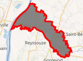
| |
 Pont-de-Vaux  Pont-de-Vaux | |
| Coordinates: 46°25′55″N 4°56′17″E | |
| Country | France |
| Region | Auvergne-Rhône-Alpes |
| Department | Ain |
| Arrondissement | Bourg-en-Bresse |
| Canton | Replonges |
| Government | |
| • Mayor (2008–2014) | Jean-Claude Thierry |
| Area 1 | 7.54 km2 (2.91 sq mi) |
| Population (2017-01-01)[1] | 2,258 |
| • Density | 300/km2 (780/sq mi) |
| Time zone | UTC+01:00 (CET) |
| • Summer (DST) | UTC+02:00 (CEST) |
| INSEE/Postal code | 01305 /01190 |
| Elevation | 169–204 m (554–669 ft) (avg. 177 m or 581 ft) |
| 1 French Land Register data, which excludes lakes, ponds, glaciers > 1 km2 (0.386 sq mi or 247 acres) and river estuaries. | |
Population
|
|
References
- "Populations légales 2017". INSEE. Retrieved 6 January 2020.
| Wikimedia Commons has media related to Pont-de-Vaux. |
| Authority control |
|---|
This article is issued from Wikipedia. The text is licensed under Creative Commons - Attribution - Sharealike. Additional terms may apply for the media files.