National Register of Historic Places listings in Henry County, Iowa
This is a list of the National Register of Historic Places listings in Henry County, Iowa.
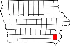
Location of Henry County in Iowa
This is intended to be a complete list of the properties and districts on the National Register of Historic Places in Henry County, Iowa, United States. Latitude and longitude coordinates are provided for many National Register properties and districts; these locations may be seen together in a map.[1]
There are 51 properties and districts listed on the National Register in the county.
- This National Park Service list is complete through NPS recent listings posted February 5, 2021.[2]
Current listings

Former listings
| [3] | Name on the Register | Image | Date listed | Date removed | Location | Summary |
|---|---|---|---|---|---|---|
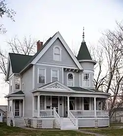
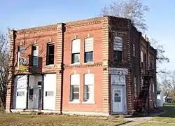
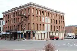
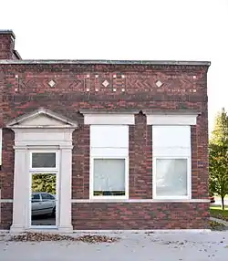
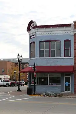
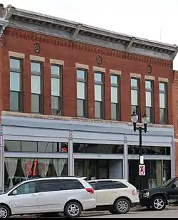
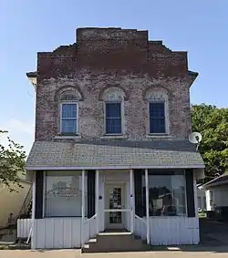
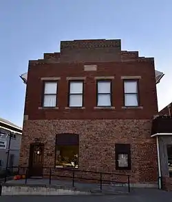
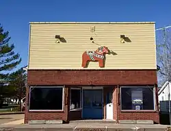
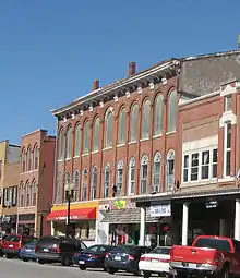
| 1 | Smith and Weller Building |  Smith and Weller Building |
August 28, 2003 (#03000830) | July 31, 2020 | 100 E. Main 40°55′38″N 91°24′05″W |
See also
| Wikimedia Commons has media related to National Register of Historic Places in Henry County, Iowa. |
References
- The latitude and longitude information provided in this table was derived originally from the National Register Information System, which has been found to be fairly accurate for about 99% of listings. Some locations in this table may have been corrected to current GPS standards.
- "National Register of Historic Places: Weekly List Actions". National Park Service, United States Department of the Interior. Retrieved on February 5, 2021.
- Numbers represent an alphabetical ordering by significant words. Various colorings, defined here, differentiate National Historic Landmarks and historic districts from other NRHP buildings, structures, sites or objects.
- "National Register Information System". National Register of Historic Places. National Park Service. April 24, 2008.
- The eight-digit number below each date is the number assigned to each location in the National Register Information System database, which can be viewed by clicking the number.
- Iowa's Most Endangered Properties, "Archived copy". Archived from the original on 2008-10-07. Retrieved 2008-12-22.CS1 maint: archived copy as title (link)
| Topics | |
|---|---|
| Lists by state |
|
| Lists by insular areas | |
| Lists by associated state | |
| Other areas | |
| Related | |
| |

Municipalities and communities of Henry County, Iowa, United States | ||
|---|---|---|
| Cities | Map of Iowa highlighting Henry County | |
| Unincorporated community | ||
| Footnotes | ‡This populated place also has portions in an adjacent county or counties | |
| ||
This article is issued from Wikipedia. The text is licensed under Creative Commons - Attribution - Sharealike. Additional terms may apply for the media files.