National Register of Historic Places listings in Polk County, Iowa
This is a list of the National Register of Historic Places listings in Polk County, Iowa.
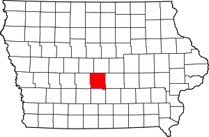
Location of Polk County in Iowa
This is intended to be a complete list of the properties and districts on the National Register of Historic Places in Polk County, Iowa, United States. Latitude and longitude coordinates are provided for many National Register properties and districts; these locations may be seen together in an online map.[1]
There are 195 properties and districts listed on the National Register in the county, including 2 National Historic Landmarks. Three properties were once listed but have since been removed.
- This National Park Service list is complete through NPS recent listings posted February 5, 2021.[2]
Current listings
| [3] | Name on the Register[4] | Image | Date listed[5] | Location | City or town | Description |
|---|---|---|---|---|---|---|
| 1 | Abraham Lincoln High School | .jpg.webp) Abraham Lincoln High School |
October 24, 2002 (#02001250) |
2600 SW. 9th St. 41°33′43″N 93°37′34″W |
Des Moines | |
| 2 | Acadian Manor Historic District | 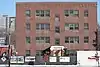 Acadian Manor Historic District |
September 18, 2020 (#100005567) |
2801 - 2815 Grand Ave. 41°35′05″N 93°39′18″W |
Des Moines | |
| 3 | William W. and Elizabeth J. Ainsworth House | 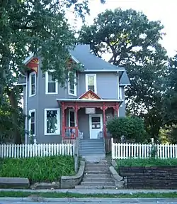 William W. and Elizabeth J. Ainsworth House |
October 22, 1998 (#98001275) |
1310 7th St. 41°36′08″N 93°37′38″W |
Des Moines | |
| 4 | Richard L. and Verda M. Allerman Farm Historic District | 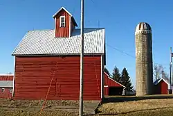 Richard L. and Verda M. Allerman Farm Historic District |
May 1, 2015 (#15000192) |
2701 NW. 158th Ave. 41°50′59″N 93°39′15″W |
Slater vicinity | |
| 5 | American Republic Insurance Company Headquarters Building | 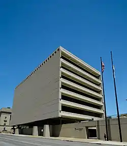 American Republic Insurance Company Headquarters Building |
December 22, 2015 (#15000917) |
601 6th Ave. 41°35′25″N 93°37′32″W |
Des Moines | |
| 6 | Josiah Andrews House | 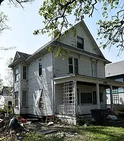 Josiah Andrews House |
November 1, 1988 (#88001338) |
1128 27th St. 41°35′58″N 93°39′13″W |
Des Moines | |
| 7 | Apperson-Iowa Motor Car Company Building |  Apperson-Iowa Motor Car Company Building |
June 14, 2016 (#16000363) |
1420 Locust St. 41°35′04″N 93°38′08″W |
Des Moines | |
| 8 | Argonne Building |  Argonne Building |
September 24, 2020 (#100005608) |
1723 Grand Ave. (1723-1733 Grand Ave., plus 515 18th St.) 41°35′05″N 93°38′27″W |
Des Moines | |
| 9 | Ashby Manor Historic District | 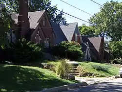 Ashby Manor Historic District |
September 4, 1992 (#92001150) |
Roughly bounded by Beaver Ave. and Ashby Park 41°37′30″N 93°40′23″W |
Des Moines | |
| 10 | Ayrshire Apartments | 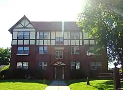 Ayrshire Apartments |
October 25, 1996 (#96001144) |
1815 6th Ave. 41°36′38″N 93°37′30″W |
Des Moines | 1920 |
| 11 | William H. and Alice Bailey House | 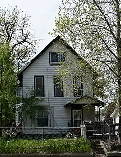 William H. and Alice Bailey House |
October 25, 1996 (#96001148) |
1810 6th Ave. 41°36′44″N 93°37′30″W |
Des Moines | |
| 12 | C.H. Baker Double House | 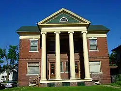 C.H. Baker Double House |
October 25, 1996 (#96001153) |
1700-1702 6th Ave. 41°36′32″N 93°37′31″W |
Des Moines | |
| 13 | Baker-Devotie-Hollingsworth Block | 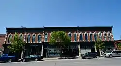 Baker-Devotie-Hollingsworth Block |
November 14, 1978 (#78001256) |
524 E. Grand Ave.; also 516-526 E. Grand Ave. 41°35′27″N 93°36′37″W |
Des Moines | 516-526 E. Grand represents a boundary increase of January 10, 2008 |
| 14 | Walter M. Bartlett Double House | 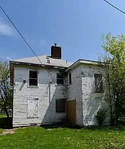 Walter M. Bartlett Double House |
October 22, 1998 (#98001279) |
1416-1418 6th Ave. 41°36′15″N 93°37′32″W |
Des Moines | |
| 15 | Bates Park Historic District | .JPG.webp) Bates Park Historic District |
October 25, 1996 (#96001154) |
4th St. between Orchard and Clark Sts. 41°36′18″N 93°37′24″W |
Des Moines | |
| 16 | William A. and Etta Baum Cottage | 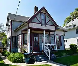 William A. and Etta Baum Cottage |
October 25, 1996 (#96001147) |
1604 8th St. 41°36′29″N 93°37′40″W |
Des Moines | |
| 17 | Boyt Company Building | 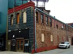 Boyt Company Building |
March 10, 2009 (#09000108) |
210 Court Ave. 41°35′07″N 93°37′11″W |
Des Moines | |
| 18 | Byron A. Beeson House | 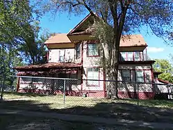 Byron A. Beeson House |
October 25, 1996 (#96001141) |
1503 5th Ave. 41°36′21″N 93°37′28″W |
Des Moines | |
| 19 | Hill McClelland Bell House |  Hill McClelland Bell House |
January 11, 1988 (#88001334) |
1091 26th St. 41°35′53″N 93°39′06″W |
Des Moines | |
| 20 | F.A. Benham House |  F.A. Benham House |
November 5, 1998 (#98001326) |
716 19th. St. 41°35′24″N 93°38′33″W |
Des Moines | |
| 21 | Big Creek Schoolhouse | 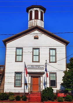 Big Creek Schoolhouse |
August 11, 2004 (#04000816) |
112 3rd St. 41°46′14″N 93°42′51″W |
Polk City | |
| 22 | Byron and Ivan Boyd House | 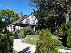 Byron and Ivan Boyd House |
April 6, 2004 (#04000263) |
304 42nd St. 41°35′08″N 93°40′50″W |
Des Moines | |
| 23 | Bryn Mawr Apartments | 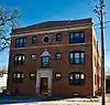 Bryn Mawr Apartments |
October 10, 2017 (#100001699) |
511 29th St. 41°35′07″N 93°39′24″W |
Des Moines | |
| 24 | Burns United Methodist Church | 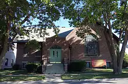 Burns United Methodist Church |
June 15, 1977 (#77000546) |
811 Crocker St. 41°35′37″N 93°37′41″W |
Des Moines | |
| 25 | Camp Dodge Pool District | Camp Dodge Pool District |
February 17, 1995 (#95000098) |
Buildings A22-A24 at Camp Dodge 41°42′12″N 93°42′34″W |
Johnston | |
| 26 | James Sansom Carpenter House | 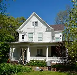 James Sansom Carpenter House |
April 23, 1998 (#98000379) |
3320 Kinsey Ave. 41°36′26″N 93°33′01″W |
Des Moines | |
| 27 | Larnerd Case House | 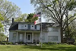 Larnerd Case House |
June 21, 1982 (#82002633) |
3111 Easton Boulevard 41°36′41″N 93°33′19″W |
Des Moines | |
| 28 | Chaffee-Hunter House | 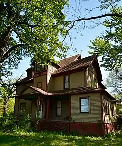 Chaffee-Hunter House |
October 22, 1998 (#98001274) |
1821 8th St. 41°36′40″N 93°37′40″W |
Des Moines | |
| 29 | D.S. Chamberlain Building | 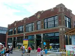 D.S. Chamberlain Building |
June 28, 2007 (#07000346) |
1312 Locust St. 41°35′04″N 93°38′03″W |
Des Moines | Built in 1917-1918. |
| 30 | Chautauqua Park Historic District | 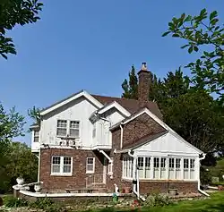 Chautauqua Park Historic District |
March 22, 1990 (#89001776) |
Roughly bounded by 16th St., Hickman Rd., and the Chautauqua Parkway 41°36′46″N 93°38′06″W |
Des Moines | |
| 31 | Civic Center Historic District | 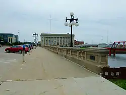 Civic Center Historic District |
December 7, 1988 (#88001168) |
Both banks of the Des Moines River from the Center St. Dam to the Scott Ave. Dam 41°34′59″N 93°36′57″W |
Des Moines | |
| 32 | Clemens Automobile Company Building | 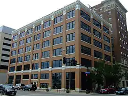 Clemens Automobile Company Building |
May 9, 2009 (#09000272) |
200 10th St. 41°35′03″N 93°37′46″W |
Des Moines | Built in 1916. |
| 33 | College Corner Commercial Historic Business District | 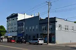 College Corner Commercial Historic Business District |
April 23, 1998 (#98000385) |
Euclid Ave. between 2nd and 3rd Aves. 41°37′39″N 93°37′13″W |
Des Moines | |
| 34 | Cottage Grove Avenue Presbyterian Church | 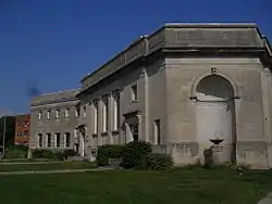 Cottage Grove Avenue Presbyterian Church |
September 12, 2016 (#16000607) |
1050 24th St. 41°35′49″N 93°39′00″W |
Des Moines | |
| 35 | Court Avenue Bridge | 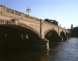 Court Avenue Bridge |
May 15, 1998 (#98000489) |
Court Ave. over the Des Moines River 41°35′09″N 93°37′03″W |
Des Moines | |
| 36 | Crane Building | 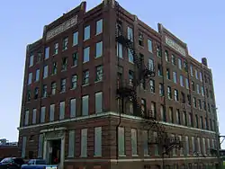 Crane Building |
August 30, 2001 (#01000914) |
1440 Walnut 41°35′03″N 93°38′09″W |
Des Moines | Built in 1916. |
| 37 | Crawford House | 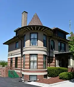 Crawford House |
January 27, 1983 (#83000398) |
2203 Grand Ave. 41°35′05″N 93°38′50″W |
Des Moines | |
| 38 | Albert Baird Cummins House | 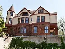 Albert Baird Cummins House |
June 30, 1982 (#82002634) |
2404 Forest Dr. 41°35′02″N 93°39′00″W |
Des Moines | |
| 39 | Jay Norwood and Genevieve Pendleton Darling House |  Jay Norwood and Genevieve Pendleton Darling House |
September 30, 1992 (#91001838) |
2320 Terrace Rd. 41°34′57″N 93°39′14″W |
Des Moines | |
| 40 | Professor Charles O. Denny House |  Professor Charles O. Denny House |
September 8, 1988 (#88001329) |
1084 25th St. 41°35′52″N 93°39′03″W |
Des Moines | |
| 41 | Des Moines Art Center |  Des Moines Art Center |
October 19, 2004 (#03000063) |
4700 Grand Ave. 41°35′00″N 93°40′52″W |
Des Moines | |
| 42 | Des Moines Building |  Des Moines Building |
October 16, 2013 (#13000829) |
405 6th Ave. 41°35′14″N 93°37′29″W |
Des Moines | |
| 43 | Des Moines Fire Department Headquarters-Fire Station No. 1 and Shop Building | 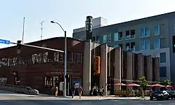 Des Moines Fire Department Headquarters-Fire Station No. 1 and Shop Building |
April 7, 2014 (#14000113) |
900 Mulberry St., 100 9th St. 41°35′07″N 93°37′15″W |
Des Moines | |
| 44 | Des Moines Saddlery Company Building | 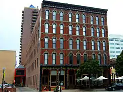 Des Moines Saddlery Company Building |
June 27, 1985 (#85001378) |
307-311 Court Ave. 41°35′07″N 93°37′15″W |
Des Moines | Built in 1881. |
| 45 | Des Moines Western Railway Freight House | 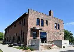 Des Moines Western Railway Freight House |
July 10, 2008 (#08000682) |
625 E. Court Ave. 41°35′15″N 93°36′29″W |
Des Moines | |
| 46 | Drake University Campus Historic District | 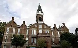 Drake University Campus Historic District |
September 8, 1988 (#88001341) |
Roughly two blocks along University Ave. near 25th St. 41°36′03″N 93°39′07″W |
Des Moines | |
| 47 | Earle & LeBosquet Block | 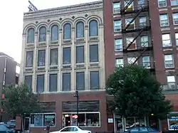 Earle & LeBosquet Block |
June 11, 2009 (#09000402) |
407-409 Court Ave. 41°35′06″N 93°37′18″W |
Des Moines | Built in 1896. |
| 48 | East Des Moines Commercial Historic District |  East Des Moines Commercial Historic District |
March 22, 2019 (#100003523) |
Roughly bounded by E. 4th, Des Moines, E. 6th, and E. Locust Sts. 41°35′27″N 93°36′42″W |
Des Moines | |
| 49 | East Des Moines Industrial Historic District | 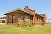 East Des Moines Industrial Historic District |
October 4, 2017 (#100001700) |
Roughly E. 2nd to E. 5th & E. Walnut to E. Market Sts. 41°35′08″N 93°36′43″W |
Des Moines | |
| 50 | Elliott Furniture Company | 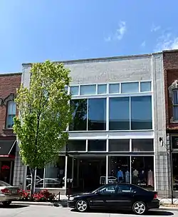 Elliott Furniture Company |
January 14, 2015 (#14001149) |
424 E. Locust St. 41°35′23″N 93°36′42″W |
Des Moines | |
| 51 | Equitable Life Insurance Company of Iowa Building |  Equitable Life Insurance Company of Iowa Building |
April 21, 2015 (#15000154) |
604 Locust St. & 316 6th Ave. 41°35′12″N 93°37′31″W |
Des Moines | |
| 52 | Edward B. and Nettie E. Evans House | .JPG.webp) Edward B. and Nettie E. Evans House |
April 1, 2002 (#02000294) |
1410 19th St. 41°36′16″N 93°38′34″W |
Des Moines | |
| 53 | Fire Station No. 4 | 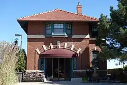 Fire Station No. 4 |
June 27, 1979 (#79000923) |
1041 8th St. 41°35′51″N 93°37′39″W |
Des Moines | |
| 54 | First Methodist Episcopal Church | 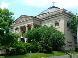 First Methodist Episcopal Church |
April 12, 1984 (#84001295) |
10th and Pleasant Sts. 41°35′21″N 93°37′51″W |
Des Moines | 1905-08 |
| 55 | Fish and Game Pavilion and Aquarium | 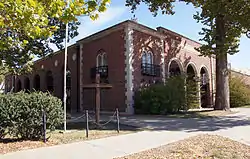 Fish and Game Pavilion and Aquarium |
December 23, 1991 (#91001836) |
Iowa State Fairgrounds 41°35′46″N 93°33′21″W |
Des Moines | |
| 56 | F. W. Fitch Company Historic District | 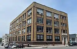 F. W. Fitch Company Historic District |
April 9, 2013 (#13000147) |
300-306 15th and 1510-1526 Walnut Sts. 41°35′00″N 93°38′13″W |
Des Moines | |
| 57 | Fleming Building | 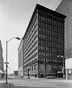 Fleming Building |
May 22, 2002 (#02000541) |
218 6th Ave. 41°35′08″N 93°37′29″W |
Des Moines | Built in 1907. |
| 58 | Flynn-Griffin Building | 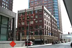 Flynn-Griffin Building |
May 3, 2016 (#16000215) |
319 7th St. 41°35′11″N 93°37′34″W |
Des Moines | Originally listed as "Flynn Building"; listing renamed November 7, 2016 |
| 59 | Flynn Farm, Mansion, and Barn | 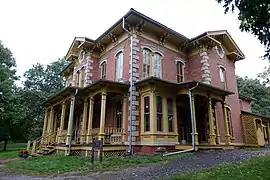 Flynn Farm, Mansion, and Barn |
November 30, 1973 (#73000737) |
2600 111th St. 41°37′18″N 93°46′33″W |
Urbandale | |
| 60 | Fort Des Moines Provisional Army Officer Training School | .jpg.webp) Fort Des Moines Provisional Army Officer Training School |
May 30, 1974 (#74000805) |
Fort Des Moines Military Reservation 41°31′25″N 93°37′11″W |
Des Moines | |
| 61 | Franklin Apartments |  Franklin Apartments |
October 25, 1996 (#96001142) |
1811 6th Ave. 41°36′40″N 93°37′30″W |
Des Moines | |
| 62 | Rees Gabriel House | 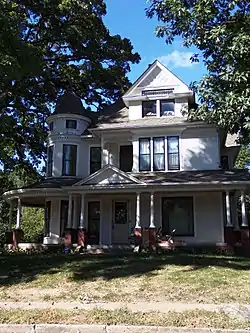 Rees Gabriel House |
December 21, 1978 (#78001250) |
1701 Pennsylvania Ave. 41°36′33″N 93°36′34″W |
Des Moines | |
| 63 | Goddard Bungalow Court Historic District |  Goddard Bungalow Court Historic District |
November 21, 2000 (#00000930) |
1410-21 Goddard Court and 1232 14th St. 41°36′05″N 93°38′09″W |
Des Moines | |
| 64 | Lowry W. and Hattie N. Goode First North Des Moines House |  Lowry W. and Hattie N. Goode First North Des Moines House |
October 22, 1998 (#98001280) |
1813 7th St. 41°36′40″N 93°37′35″W |
Des Moines | |
| 65 | Grand View College (Old Main) |  Grand View College (Old Main) |
May 23, 1978 (#78001252) |
1200 Grandview Ave. 41°37′15″N 93°36′15″W |
Des Moines | |
| 66 | Greek Orthodox Church of Saint George |  Greek Orthodox Church of Saint George |
February 28, 1997 (#97000101) |
1118 35th St. 41°35′55″N 93°39′49″W |
Des Moines | |
| 67 | Greenwood Park Plats Historic District | 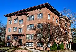 Greenwood Park Plats Historic District |
April 24, 2013 (#13000068) |
Roughly 39th to 42nd Sts., approx. Grand Ave. to Center & Pleasant Sts., 4006, 4024 Grand Ave. 41°35′17″N 93°40′18″W |
Des Moines | |
| 68 | Grocers Wholesale Company Building |  Grocers Wholesale Company Building |
April 25, 2008 (#08000330) |
22 W. 9th St. 41°34′59″N 93°37′41″W |
Des Moines | Built in 1906. |
| 69 | F.E. Haley Double House | 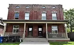 F.E. Haley Double House |
October 22, 1998 (#98001278) |
1233-1235 7th St. 41°36′06″N 93°37′35″W |
Des Moines | |
| 70 | Hallett Flat-Rawson & Co. Apartment Building | 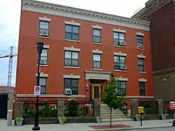 Hallett Flat-Rawson & Co. Apartment Building |
December 1, 2000 (#00001456) |
1301-1307 Locust St. 41°35′06″N 93°38′01″W |
Des Moines | Built in 1906. |
| 71 | L. Harbach and Sons Furniture Warehouse and Factory Complex | 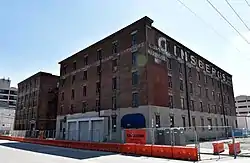 L. Harbach and Sons Furniture Warehouse and Factory Complex |
December 21, 2015 (#15000918) |
300-316 SW. 5th St. 41°34′52″N 93°37′18″W |
Des Moines | |
| 72 | Dr. John B. and Anna M. Hatton House | 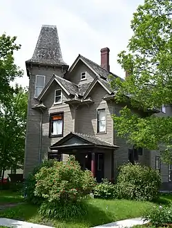 Dr. John B. and Anna M. Hatton House |
April 23, 1998 (#98000408) |
1730 7th St. 41°36′37″N 93°37′38″W |
Des Moines | |
| 73 | Hawkeye Insurance Company Building | 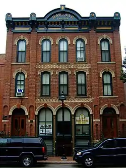 Hawkeye Insurance Company Building |
April 28, 1986 (#86000874) |
209 4th St. 41°35′08″N 93°37′17″W |
Des Moines | Built in 1868. |
| 74 | Hawkeye Transfer Company Warehouse | Hawkeye Transfer Company Warehouse |
March 22, 2010 (#10000077) |
702 Elm St. 41°34′50″N 93°37′28″W |
Des Moines | |
| 75 | William B. Hayes House | 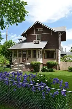 William B. Hayes House |
October 25, 1996 (#96001140) |
1547 Arlington Ave. 41°36′27″N 93°37′18″W |
Des Moines | |
| 76 | Allen Hazen Water Tower | 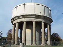 Allen Hazen Water Tower |
August 11, 2004 (#04000819) |
4800 Hickman Rd. 41°36′59″N 93°41′01″W |
Des Moines | |
| 77 | Henshie-Briggs Row House | 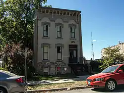 Henshie-Briggs Row House |
August 8, 2001 (#01000855) |
1106 High St. 41°35′12″N 93°37′58″W |
Des Moines | |
| 78 | Herndon Hall | 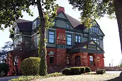 Herndon Hall |
July 27, 1977 (#77000547) |
2000 Grand Ave. 41°35′03″N 93°38′39″W |
Des Moines | |
| 79 | Herring Motor Car Company Building | 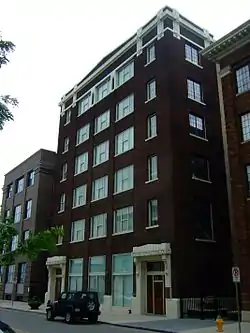 Herring Motor Car Company Building |
December 6, 2004 (#04001325) |
110 W. 10th St. 41°35′03″N 93°37′45″W |
Des Moines | Built in 1912. |
| 80 | Herrold Bridge | 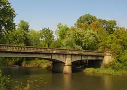 Herrold Bridge |
May 15, 1998 (#98000490) |
NW. 88th Ave. over Beaver Creek 41°43′19″N 93°44′59″W |
Herrold | |
| 81 | Highland Park Historic Business District at Euclid and Sixth Avenues | 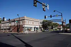 Highland Park Historic Business District at Euclid and Sixth Avenues |
July 15, 1998 (#98000867) |
Roughly the junction of Euclid and 6th Aves. 41°37′42″N 93°37′27″W |
Des Moines | |
| 82 | Hippee Building | 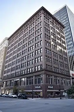 Hippee Building |
April 17, 2018 (#100002325) |
206 6th Ave. 41°35′07″N 93°37′28″W |
Des Moines | |
| 83 | Hohberger Building | 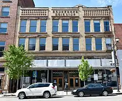 Hohberger Building |
September 12, 2002 (#02001019) |
502-506 E. Locust St. 41°35′24″N 93°36′39″W |
Des Moines | Built in 1898. |
| 84 | Home Federal Savings and Loan Association of Des Moines Building | 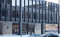 Home Federal Savings and Loan Association of Des Moines Building |
January 24, 2017 (#100000561) |
601 Grand Avenue 41°35′17″N 93°37′33″W |
Des Moines | |
| 85 | Home of Marshall's Horseradish |  Home of Marshall's Horseradish |
October 22, 1998 (#98001285) |
1546 2nd Place 41°36′27″N 93°37′14″W |
Des Moines | |
| 86 | Homestead Building | 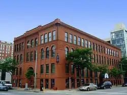 Homestead Building |
March 5, 1982 (#82002635) |
303 Locust St. 41°35′16″N 93°37′17″W |
Des Moines | Built in 1893. |
| 87 | Hotel Fort Des Moines | 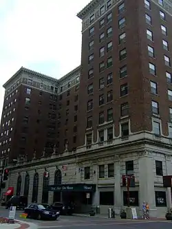 Hotel Fort Des Moines |
September 16, 1982 (#82002636) |
10th and Walnut Sts. 41°35′03″N 93°37′46″W |
Des Moines | Built in 1919. |
| 88 | Hotel Kirkwood | 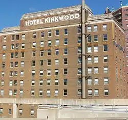 Hotel Kirkwood |
December 10, 2003 (#03001256) |
400 Walnut St. 41°35′15″N 93°36′33″W |
Des Moines | Built in 1930. |
| 89 | Hotel Randolph |  Hotel Randolph |
June 11, 2009 (#09000403) |
200-204 4th St. 41°35′06″N 93°37′18″W |
Des Moines | Built in 1911. |
| 90 | Hubbell Building | 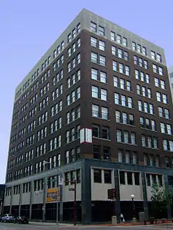 Hubbell Building |
August 11, 2004 (#04000818) |
904 Walnut St. 41°35′08″N 93°37′43″W |
Des Moines | Built in 1913. |
| 91 | Hubbell Warehouse | 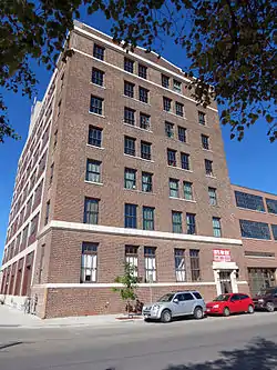 Hubbell Warehouse |
November 12, 2010 (#10000894) |
340 SW 5th St. 41°34′50″N 93°37′17″W |
Des Moines | Architectural Legacy of Proudfoot & Bird in Iowa MPS |
| 92 | Ingersoll Place Plat Historic District | 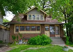 Ingersoll Place Plat Historic District |
November 21, 2000 (#00000931) |
28th, Linden, and High Sts. 41°35′14″N 93°39′11″W |
Des Moines | |
| 93 | I.O.O.F. (International Order of Odd Fellows) Valley Junction Lodge Hall No. 604 | 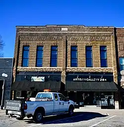 I.O.O.F. (International Order of Odd Fellows) Valley Junction Lodge Hall No. 604 |
November 8, 2017 (#100001793) |
216-218 5th St. 41°34′18″N 93°42′32″W |
West Des Moines | |
| 94 | Iowa Commission for the Blind Building | 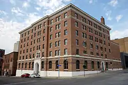 Iowa Commission for the Blind Building |
July 1, 2010 (#09000714) |
524 4th St. 41°35′20″N 93°37′22″W |
Des Moines | |
| 95 | Iowa State Capitol | 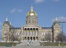 Iowa State Capitol |
October 21, 1976 (#76000799) |
Grand Ave. and E. 12th St. 41°35′27″N 93°36′15″W |
Des Moines | Built in 1884-1886. |
| 96 | Iowa State Fair and Exposition Grounds Historic District | 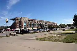 Iowa State Fair and Exposition Grounds Historic District |
September 14, 1987 (#87000014) |
E. 30th St. and Grand Ave. 41°35′43″N 93°32′58″W |
Des Moines | |
| 97 | Iowa State Historical Building | 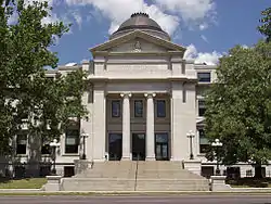 Iowa State Historical Building |
November 14, 1978 (#78001251) |
E. 12th and Grand Ave. 41°35′34″N 93°36′09″W |
Des Moines | |
| 98 | Iowa-Des Moines National Bank Building | 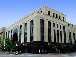 Iowa-Des Moines National Bank Building |
July 10, 1979 (#79000924) |
520 Walnut St. 41°35′08″N 93°37′27″W |
Des Moines | |
| 99 | Capt. Nicholas W. and Emma Johnson House | 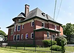 Capt. Nicholas W. and Emma Johnson House |
December 6, 1990 (#90001854) |
Junction of 21st St. and University Ave. 41°36′00″N 93°38′42″W |
Des Moines | |
| 100 | Dr. Anna E. and Andrew A. Johnstone House | 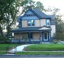 Dr. Anna E. and Andrew A. Johnstone House |
October 25, 1996 (#96001152) |
1830 8th St. 41°36′40″N 93°37′41″W |
Des Moines | |
| 101 | G.W. Jones Building | 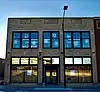 G.W. Jones Building |
June 14, 2016 (#16000364) |
1430 Locust St. 41°35′04″N 93°38′10″W |
Des Moines | |
| 102 | Jordan House | 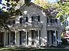 Jordan House |
December 10, 1973 (#73000738) |
2251 Fuller Rd. 41°33′36″N 93°44′05″W |
West Des Moines | |
| 103 | Rev. R.W. and Fannie E. Keeler House |  Rev. R.W. and Fannie E. Keeler House |
November 4, 1993 (#93001184) |
1430 10th St. 41°36′21″N 93°37′50″W |
Des Moines | |
| 104 | Kingman Place Historic District |  Kingman Place Historic District |
November 21, 2000 (#00000928) |
27th to 31st Sts., Kingman Boulevard, Rutland St. and Cottage Ave. 41°36′04″N 93°39′04″W |
Des Moines | |
| 105 | Francis M. Kirkham House | .JPG.webp) Francis M. Kirkham House |
September 8, 1988 (#88001328) |
1026 24th St. 41°35′45″N 93°38′58″W |
Des Moines | |
| 106 | Nellie and Thomas Knotts House |  Nellie and Thomas Knotts House |
September 8, 1988 (#88001333) |
1021 26th St. 41°35′44″N 93°39′05″W |
Des Moines | |
| 107 | Kromer Flats |  Kromer Flats |
October 25, 1996 (#96001151) |
1433-1439 6th Ave. 41°36′17″N 93°37′31″W |
Des Moines | |
| 108 | The Lexington | 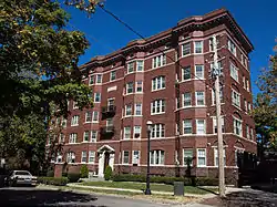 The Lexington |
December 12, 1976 (#76000800) |
1721 Pleasant St. 41°35′24″N 93°38′26″W |
Des Moines | |
| 109 | Liberty Building | 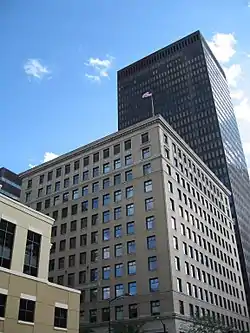 Liberty Building |
July 22, 2010 (#10000488) |
418 Sixth Ave. 41°35′15″N 93°37′32″W |
Des Moines | Architectural Legacy of Proudfoot & Bird in Iowa MPS |
| 110 | Linden Heights Historic District | 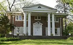 Linden Heights Historic District |
December 10, 2003 (#03001262) |
Foster Dr., Glenview Dr., Woodlawn, and Park Hill Dr. west of SW. 42nd St. 41°34′25″N 93°40′35″W |
Des Moines | |
| 111 | Richard T.C. Lord and William V. Wilcox House | 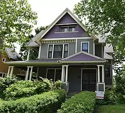 Richard T.C. Lord and William V. Wilcox House |
September 8, 1988 (#88001336) |
2416 Kingman Boulevard 41°35′46″N 93°39′01″W |
Des Moines | |
| 112 | Lustron House #02437 | June 9, 2020 (#100005272) |
1440 63rd St. 41°36′19″N 93°42′15″W |
Windsor Heights | ||
| 113 | Mack-International Motor Truck Corporation Building | 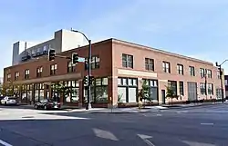 Mack-International Motor Truck Corporation Building |
January 17, 2017 (#100000488) |
121 12th St. 41°35′00″N 93°37′53″W |
Des Moines | |
| 114 | Mahnke House | 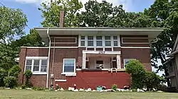 Mahnke House |
October 13, 1983 (#83003622) |
2707 High St. 41°35′14″N 93°39′12″W |
Des Moines | |
| 115 | The Maine | 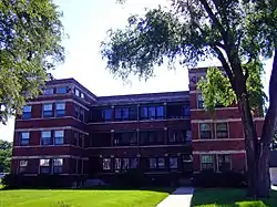 The Maine |
October 25, 1996 (#96001143) |
1635 6th Ave. 41°36′34″N 93°37′30″W |
Des Moines | |
| 116 | Maish House | 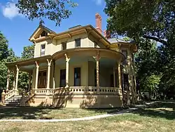 Maish House |
April 11, 1977 (#77000548) |
1623 Center St. 41°35′31″N 93°38′23″W |
Des Moines | |
| 117 | Masonic Temple of Des Moines | 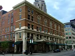 Masonic Temple of Des Moines |
August 29, 1997 (#97000961) |
1011 Locust St. 41°35′09″N 93°37′47″W |
Des Moines | Built in 1913. |
| 118 | Minnie Y. and Frank P. Mattes House | 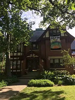 Minnie Y. and Frank P. Mattes House |
December 16, 2009 (#09001090) |
1305 34th St. 41°36′09″N 93°39′46″W |
Des Moines | |
| 119 | Methodist Deaconess Institute—Esther Hall | 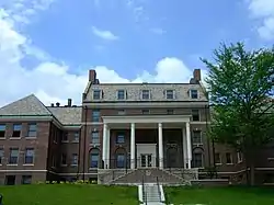 Methodist Deaconess Institute—Esther Hall |
March 4, 2009 (#09000067) |
921 Pleasant Street 41°35′21″N 93°37′50″W |
Des Moines | 1921 |
| 120 | Middlesex Plat Historic District | 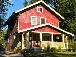 Middlesex Plat Historic District |
November 21, 2000 (#00000932) |
Center St. to Woodland Ave., 31st to 35th Sts. 41°35′44″N 93°39′39″W |
Des Moines | |
| 121 | Municipal Building | 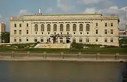 Municipal Building |
November 10, 1977 (#77000549) |
E. 1st and Locust Sts. 41°35′21″N 93°36′58″W |
Des Moines | Built in 1909-1910. |
| 122 | Murillo Flats | 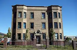 Murillo Flats |
June 9, 2009 (#09000404) |
605 16th St. 41°35′14″N 93°38′20″W |
Des Moines | Built in 1903. |
| 123 | National Biscuit Company Building | 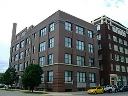 National Biscuit Company Building |
May 6, 2009 (#09000273) |
1001 Cherry St. 41°34′59″N 93°37′45″W |
Des Moines | Built in 1906. |
| 124 | Naylor House | 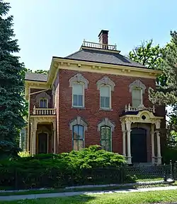 Naylor House |
July 10, 1974 (#74000806) |
944 W. 9th St. 41°35′41″N 93°37′45″W |
Des Moines | |
| 125 | The New Lawn | 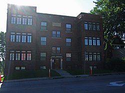 The New Lawn |
October 25, 1996 (#96001150) |
1245 6th Ave. 41°36′06″N 93°37′30″W |
Des Moines | |
| 126 | Newens Sanitary Dairy Historic District | 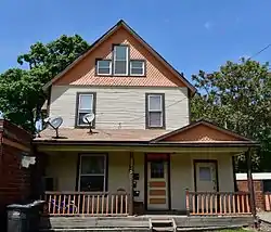 Newens Sanitary Dairy Historic District |
December 17, 2003 (#03000062) |
2225 and 2300-2312 University Ave. 41°36′01″N 93°38′52″W |
Des Moines | |
| 127 | Norman Apartment Building | 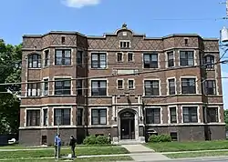 Norman Apartment Building |
September 8, 1988 (#88001327) |
3103 University Ave. 41°36′02″N 93°39′34″W |
Des Moines | |
| 128 | Northwestern Hotel | 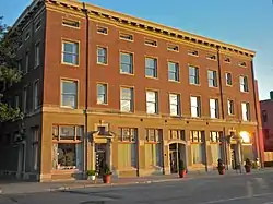 Northwestern Hotel |
January 12, 1984 (#84001300) |
321 E. Walnut 41°35′17″N 93°36′43″W |
Des Moines | |
| 129 | The Oaklands Historic District | 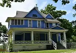 The Oaklands Historic District |
October 25, 1996 (#96001155) |
Oakland and Arlington Aves. between Franklin and College Aves. 41°36′34″N 93°37′22″W |
Des Moines | |
| 130 | F. F. Odenweller-James P. and Nettie Morey House | 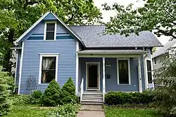 F. F. Odenweller-James P. and Nettie Morey House |
November 1, 1988 (#88001337) |
1115 27th St. 41°36′08″N 93°39′26″W |
Des Moines | |
| 131 | Olmsted Family Farmhouse | 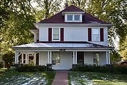 Olmsted Family Farmhouse |
August 6, 2019 (#100004230) |
4010 70th St. 41°38′00″N 93°42′44″W |
Urbandale | Now houses the local historical society. |
| 132 | Owl's Head Historic District |  Owl's Head Historic District |
October 11, 1978 (#78001253) |
Ridge Rd., Forest Dr., and 28th and 29th Sts. 41°34′57″N 93°39′18″W |
Des Moines | |
| 133 | George B. Peak House | .JPG.webp) George B. Peak House |
November 14, 1978 (#78001254) |
1080 22nd St. 41°35′52″N 93°38′48″W |
Des Moines | |
| 134 | Perry and Brainard Block | 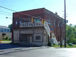 Perry and Brainard Block |
October 25, 1996 (#96001149) |
1601 6th Ave. 41°36′29″N 93°37′31″W |
Des Moines | Built in 1888. |
| 135 | Plymouth Place |  Plymouth Place |
April 14, 2015 (#15000140) |
4111 Ingersoll Ave. 41°35′13″N 93°40′25″W |
Des Moines | |
| 136 | Polk County Courthouse |  Polk County Courthouse |
April 30, 1979 (#79000925) |
6th and Mulberry Sts. 41°35′05″N 93°37′23″W |
Des Moines | Built in 1900. |
| 137 | Polk County Homestead and Trust Company Addition Historic District |  Polk County Homestead and Trust Company Addition Historic District |
October 4, 2016 (#16000687) |
Both sides of 7th & 8th Sts., S. of Franklin & N. of College Aves. 41°36′34″N 93°37′39″W |
Des Moines | |
| 138 | Prospect Park Second Plat Historic District |  Prospect Park Second Plat Historic District |
April 23, 1998 (#98000375) |
Roughly along the Des Moines River south to Franklin Ave., between 6th Ave. and 9th St. 41°36′45″N 93°37′39″W |
Des Moines | |
| 139 | Public Library of Des Moines | 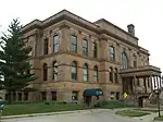 Public Library of Des Moines |
July 25, 1977 (#77000550) |
Locust St. 41°35′15″N 93°37′07″W |
Des Moines | Built in 1903. |
| 140 | Register and Tribune Building | 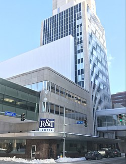 Register and Tribune Building |
June 21, 2016 (#16000385) |
715 Locust St. 41°35′12″N 93°37′38″W |
Des Moines | |
| 141 | Anson O. Reynolds House | 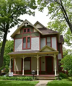 Anson O. Reynolds House |
September 8, 1988 (#88001331) |
1022 26th St. 41°35′44″N 93°39′07″W |
Des Moines | |
| 142 | Seth Richards Commercial Block | 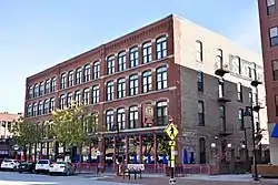 Seth Richards Commercial Block |
March 11, 2005 (#01001460) |
300-310 Court Ave. 41°35′07″N 93°36′30″W |
Des Moines | Built in 1889. |
| 143 | Riverview Park Plat Historic District | 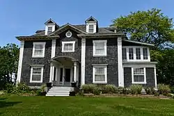 Riverview Park Plat Historic District |
October 25, 1996 (#96001157) |
Arlington Ave. between Franklin and 6th Aves. 41°36′43″N 93°37′24″W |
Des Moines | |
| 144 | Ralph Rollins House | 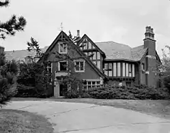 Ralph Rollins House |
November 14, 1978 (#78001255) |
2801 Fleur Dr. 41°33′36″N 93°38′38″W |
Des Moines | |
| 145 | Rumely-Des Moines Drug Company Building | 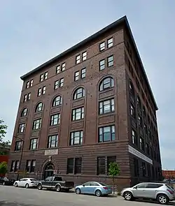 Rumely-Des Moines Drug Company Building |
November 16, 1989 (#89002008) |
110 SW. 4th St. 41°34′58″N 93°37′16″W |
Des Moines | Built in 1903. |
| 146 | St. Ambrose Cathedral and Rectory | 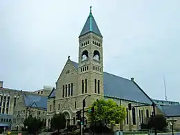 St. Ambrose Cathedral and Rectory |
March 30, 1979 (#79000927) |
607 High St. 41°35′19″N 93°37′32″W |
Des Moines | Built in 1891. |
| 147 | Saint John's Roman Catholic Church | 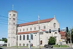 Saint John's Roman Catholic Church |
September 8, 1987 (#87001497) |
1915 University Ave. 41°36′03″N 93°38′37″W |
Des Moines | |
| 148 | St. Paul's Episcopal Church | 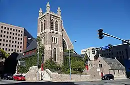 St. Paul's Episcopal Church |
March 31, 2010 (#10000129) |
815 High St. 41°35′17″N 93°37′44″W |
Des Moines | |
| 149 | Salisbury House | 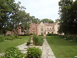 Salisbury House |
July 20, 1977 (#77000551) |
4025 Tonawanda Dr. 41°34′46″N 93°40′17″W |
Des Moines | Built in 1927-1928. |
| 150 | Sargent's Garage | 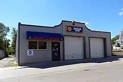 Sargent's Garage |
October 22, 1998 (#98001276) |
510 College Ave. 41°36′27″N 93°37′31″W |
Des Moines | |
| 151 | Savery Hotel | 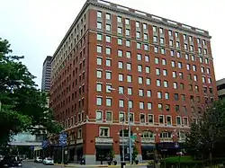 Savery Hotel |
November 5, 1998 (#98001324) |
401 Locust St. 41°35′15″N 93°37′22″W |
Des Moines | Built in 1919. |
| 152 | Julius Scheibe Cottage | 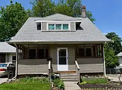 Julius Scheibe Cottage |
October 22, 1998 (#98001281) |
815 College Ave. 41°36′28″N 93°37′42″W |
Des Moines | |
| 153 | Schmitt and Henry Manufacturing Company |  Schmitt and Henry Manufacturing Company |
March 17, 2010 (#10000078) |
309 SW 8th St. 41°34′50″N 93°37′31″W |
Des Moines | |
| 154 | Mary A. and Caleb D. Scott House | 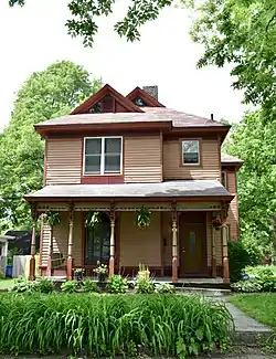 Mary A. and Caleb D. Scott House |
September 8, 1988 (#88001332) |
1014 26th St. 41°35′44″N 93°39′07″W |
Des Moines | |
| 155 | Scottish Rite Consistory Building |  Scottish Rite Consistory Building |
February 9, 1983 (#83000399) |
6th Ave. and Park St. 41°35′29″N 93°37′30″W |
Des Moines | 1926-27 |
| 156 | Sherman Hill Historic District |  Sherman Hill Historic District |
January 25, 1979 (#79000926) |
Roughly bounded by Woodland Ave., 19th, School, and 15th Sts.; also generally between 15th St., Woodland Ave., Martin Luther King Jr. Parkway and Interstate 235 41°35′28″N 93°38′25″W |
Des Moines | Second set of boundaries represents a boundary increase and decrease of March 7, 2012 |
| 157 | Hoyt Sherman Place | 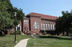 Hoyt Sherman Place |
September 19, 1977 (#77000552) |
1501 Woodland Ave. 41°35′19″N 93°38′16″W |
Des Moines | |
| 158 | Lampson P. Sherman House | 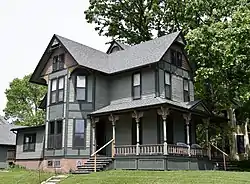 Lampson P. Sherman House |
September 8, 1988 (#88001335) |
1052 26th St. 41°35′49″N 93°39′07″W |
Des Moines | |
| 159 | John P. Simmons House | 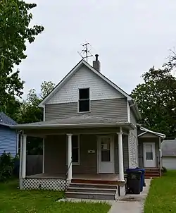 John P. Simmons House |
November 1, 1988 (#88001339) |
1113 27th St. 41°36′08″N 93°39′24″W |
Des Moines | |
| 160 | Sixth and Forest Historic District | 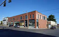 Sixth and Forest Historic District |
October 25, 1996 (#96001156) |
Northeastern and northwestern corners of the junction of 6th and Forest Aves. 41°36′17″N 93°37′32″W |
Des Moines | |
| 161 | David W. Smouse Opportunity School | 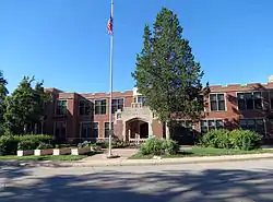 David W. Smouse Opportunity School |
October 24, 2002 (#02001251) |
2820 Center St. 41°35′29″N 93°39′17″W |
Des Moines | |
| 162 | Southeast Water Trough | 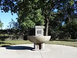 Southeast Water Trough |
October 8, 1976 (#76000801) |
SE. 11th and Scott St. 41°34′58″N 93°35′58″W |
Des Moines | |
| 163 | Southwest Fifth St. Bridge | 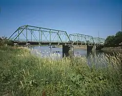 Southwest Fifth St. Bridge |
May 15, 1998 (#98000487) |
SW. 5th St. over the Raccoon River 41°34′37″N 93°37′10″W |
Des Moines | |
| 164 | Standard Glass and Paint Company Building | 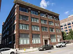 Standard Glass and Paint Company Building |
December 6, 2004 (#04001323) |
112 10th St. 41°35′02″N 93°37′42″W |
Des Moines | |
| 165 | Samuel A. and Margaret Stevenson House | 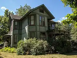 Samuel A. and Margaret Stevenson House |
January 3, 1985 (#85000008) |
2940 Cottage Grove Ave. 41°35′54″N 93°39′31″W |
Des Moines | |
| 166 | Thomas I. Stoner House | 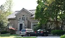 Thomas I. Stoner House |
February 12, 1992 (#92000006) |
1030 56th St. 41°35′47″N 93°41′37″W |
Des Moines | |
| 167 | Dr. Richard and Paulina Stuart House |  Dr. Richard and Paulina Stuart House |
September 8, 1988 (#88001330) |
1060 25th St. 41°35′50″N 93°39′03″W |
Des Moines | |
| 168 | Studebaker Corporation Branch Office Building | 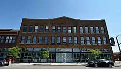 Studebaker Corporation Branch Office Building |
December 15, 2015 (#15000895) |
1436–1442 Locust St. 41°35′03″N 93°38′11″W |
Des Moines | |
| 169 | Sylvan Theater Historic District |  Sylvan Theater Historic District |
August 15, 1995 (#95000965) |
In Greenwood Park on the western side of 45th St., 1 block south of its junction with Grand Ave. 41°34′50″N 93°40′48″W |
Des Moines | |
| 170 | Syndicate Block | 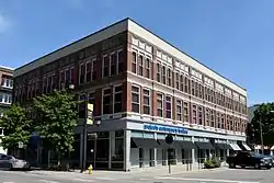 Syndicate Block |
October 1, 2001 (#01001059) |
501 E. Locust 41°35′22″N 93°36′38″W |
Des Moines | Built in 1883. |
| 171 | Taft-West Warehouse | 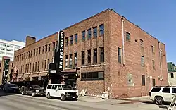 Taft-West Warehouse |
December 20, 2006 (#06001162) |
216-222 Court Ave. 41°35′06″N 93°37′17″W |
Des Moines | Built in 1922. |
| 172 | Teachout Building | 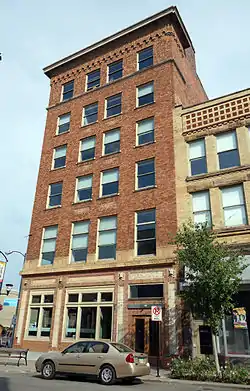 Teachout Building |
April 29, 1999 (#99000491) |
500-502 E. Locust St. 41°35′24″N 93°36′39″W |
Des Moines | Built in 1912. |
| 173 | Terrace Hill |  Terrace Hill |
June 14, 1972 (#72000480) |
2300 Grand Ave. 41°35′00″N 93°38′56″W |
Des Moines | Declared a National Historic Landmark on July 31, 2003 |
| 174 | Theodore Roosevelt High School | 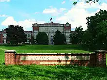 Theodore Roosevelt High School |
October 24, 2002 (#02001234) |
4419 Center St. 41°35′34″N 93°40′45″W |
Des Moines | |
| 175 | Trent-Beaver House | 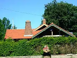 Trent-Beaver House |
October 25, 1996 (#96001145) |
1802 6th Ave. 41°36′42″N 93°37′30″W |
Des Moines | |
| 176 | Paul J. and Ida Trier House | 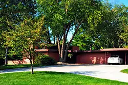 Paul J. and Ida Trier House |
November 9, 1988 (#88002148) |
6880 N.W. Beaver Dr. 41°41′10″N 93°41′21″W |
Johnston | |
| 177 | Trinity Methodist Episcopal Church | 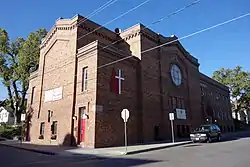 Trinity Methodist Episcopal Church |
April 23, 1998 (#98000380) |
1548 8th St. 41°36′28″N 93°37′42″W |
Des Moines | |
| 178 | Susie P. Turner Double House | 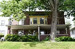 Susie P. Turner Double House |
October 22, 1998 (#98001284) |
1420-1422 8th St. 41°36′17″N 93°37′41″W |
Des Moines | |
| 179 | U.S. Post Office | 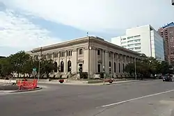 U.S. Post Office |
November 19, 1974 (#74002323) |
2nd and Walnut Sts. 41°35′13″N 93°37′10″W |
Des Moines | |
| 180 | Universalist Church |  Universalist Church |
September 6, 2005 (#05000253) |
420 4th St. 41°40′16″N 93°21′41″W |
Mitchellville | |
| 181 | Mrs. Marian D. Vail-Prof. Charles Noyes Kinney House | November 1, 1988 (#88001340) |
1318 27th St. 41°36′10″N 93°39′13″W |
Des Moines | ||
| 182 | Valley Junction Commercial Historic District |  Valley Junction Commercial Historic District |
October 11, 2017 (#100001739) |
100-318 5th St. (even side 300 only) & cross streets 41°34′17″N 93°42′32″W |
West Des Moines | |
| 183 | Valley Junction-West Des Moines City Hall and Engine House |  Valley Junction-West Des Moines City Hall and Engine House |
February 17, 1983 (#83000400) |
137 5th St. 41°34′15″N 93°42′29″W |
West Des Moines | Built in 1905. |
| 184 | Veneman's Bungalow Court Historic District |  Veneman's Bungalow Court Historic District |
November 21, 2000 (#00000929) |
1101-115 Droukas Court and 1228 and 1232 E. 12th St. 41°36′03″N 93°36′25″W |
Des Moines | |
| 185 | Henry Wallace House |  Henry Wallace House |
May 14, 1993 (#93000412) |
756 16th St. 41°35′29″N 93°38′23″W |
Des Moines | |
| 186 | Walnut Tire and Battery Co.-Globe Publishing Company Building |  Walnut Tire and Battery Co.-Globe Publishing Company Building |
January 17, 2017 (#100000489) |
1417-1425 Walnut St. 41°35′01″N 93°38′08″W |
Des Moines | |
| 187 | Warfield, Pratt and Howell Company Warehouse |  Warfield, Pratt and Howell Company Warehouse |
May 15, 1985 (#85001056) |
100 West Court Ave. 41°35′08″N 93°37′04″W |
Des Moines | |
| 188 | Washington and Elizabeth Miller Tract-Center-Soll Community Historic District | January 17, 2017 (#100000490) |
Roughly 35th to 38th Sts. between 3500-3607 Grand Ave. to Center St. 41°35′20″N 93°40′03″W |
Des Moines | ||
| 189 | Charles H. and Lena May Weitz House |  Charles H. and Lena May Weitz House |
October 22, 1998 (#98001282) |
1424 5th Ave. 41°36′16″N 93°37′27″W |
Des Moines | |
| 190 | West Chester | 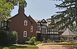 West Chester |
January 19, 1984 (#84001304) |
3520 Grand Ave. 41°35′02″N 93°39′52″W |
Des Moines | |
| 191 | West Ninth Streetcar Line Historic District | 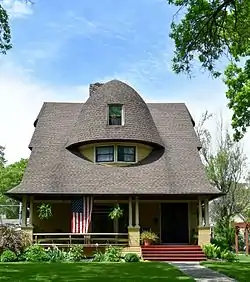 West Ninth Streetcar Line Historic District |
April 23, 1998 (#98000377) |
W. 9th St. from University Ave. to Hickman Rd. 41°36′23″N 93°37′47″W |
Des Moines | |
| 192 | Wherry Block | 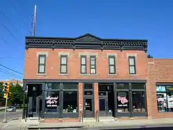 Wherry Block |
October 22, 1998 (#98001283) |
1600-1602 6th Ave. 41°36′28″N 93°37′33″W |
Des Moines | Built in 1887. |
| 193 | Woodland Place Historic District |  Woodland Place Historic District |
November 21, 2000 (#00000927) |
25th to 27th St. to Woodland Ave. 41°35′24″N 93°39′06″W |
Des Moines | |
| 194 | Youngerman Block | 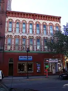 Youngerman Block |
June 10, 2009 (#09000405) |
206-208 4th St. 41°35′07″N 93°37′18″W |
Des Moines | Built in 1876. |
| 195 | Younker Brothers Department Store | 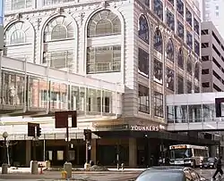 Younker Brothers Department Store |
March 17, 2010 (#10000079) |
713 Walnut St. 41°35′09″N 93°37′36″W |
Des Moines | Boundary decrease approved June 4, 2018 |
Former listings
| [3] | Name on the Register | Image | Date listed | Date removed | Location | City or town | Summary |
|---|---|---|---|---|---|---|---|
| 1 | Bankers Trust Building | Bankers Trust Building |
April 22, 1976 (#76000798) | Unknown | 605 Locust St. |
Des Moines | |
| 2 | Burnstein-Malin Grocery |  Burnstein-Malin Grocery |
October 22, 1998 (#98001277) | March 7, 2019 | 1241 6th Ave. 41°36′07″N 93°37′31″W |
Des Moines | |
| 3 | Des Moines Rapid Transit Company Carbarn | September 8, 1978 (#78001249) | Unknown | 24th and Ingersoll Ave. |
Des Moines |
See also
References
| Wikimedia Commons has media related to National Register of Historic Places in Polk County, Iowa. |
- The latitude and longitude information provided in this table was derived originally from the National Register Information System, which has been found to be fairly accurate for about 99% of listings. Some locations in this table may have been corrected to current GPS standards.
- "National Register of Historic Places: Weekly List Actions". National Park Service, United States Department of the Interior. Retrieved on February 5, 2021.
- Numbers represent an alphabetical ordering by significant words. Various colorings, defined here, differentiate National Historic Landmarks and historic districts from other NRHP buildings, structures, sites or objects.
- "National Register Information System". National Register of Historic Places. National Park Service. April 24, 2008.
- The eight-digit number below each date is the number assigned to each location in the National Register Information System database, which can be viewed by clicking the number.
| Topics | |
|---|---|
| Lists by state |
|
| Lists by insular areas | |
| Lists by associated state | |
| Other areas | |
| Related | |
| |

Municipalities and communities of Polk County, Iowa, United States | ||
|---|---|---|
| Cities | Map of Iowa highlighting Polk County | |
| Townships | ||
| CDP | ||
| Other communities | ||
| Ghost town | ||
| Footnotes | ‡This populated place also has portions in an adjacent county or counties | |
| ||
This article is issued from Wikipedia. The text is licensed under Creative Commons - Attribution - Sharealike. Additional terms may apply for the media files.