Méry-sur-Cher
Méry-sur-Cher is a commune in the Cher department in the Centre-Val de Loire region of France.
Méry-sur-Cher | |
|---|---|
.svg.png.webp) Coat of arms | |
Location of Méry-sur-Cher 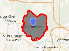
| |
 Méry-sur-Cher  Méry-sur-Cher | |
| Coordinates: 47°14′49″N 1°59′21″E | |
| Country | France |
| Region | Centre-Val de Loire |
| Department | Cher |
| Arrondissement | Vierzon |
| Canton | Vierzon-2 |
| Intercommunality | CC Vierzon-Sologne-Berry et Villages de la Forêt |
| Government | |
| • Mayor (2008–2014) | Sylvain Nivard |
| Area 1 | 20.91 km2 (8.07 sq mi) |
| Population (2017-01-01)[1] | 678 |
| • Density | 32/km2 (84/sq mi) |
| Time zone | UTC+01:00 (CET) |
| • Summer (DST) | UTC+02:00 (CEST) |
| INSEE/Postal code | 18150 /18100 |
| Elevation | 93–158 m (305–518 ft) (avg. 140 m or 460 ft) |
| 1 French Land Register data, which excludes lakes, ponds, glaciers > 1 km2 (0.386 sq mi or 247 acres) and river estuaries. | |
Geography
A village of farming and forestry situated by the banks of the Cher River some 6 miles (9.7 km) northwest of Vierzon, at the junction of the N76 and the D211 roads. The now disused Canal de Berry passes through the south of the commune.
Population
| Year | Pop. | ±% |
|---|---|---|
| 1962 | 490 | — |
| 1968 | 515 | +5.1% |
| 1975 | 534 | +3.7% |
| 1982 | 555 | +3.9% |
| 1990 | 601 | +8.3% |
| 1999 | 625 | +4.0% |
| 2008 | 686 | +9.8% |
Sights
- The church of St. Martin, dating from the twelfth century.
- The sixteenth-century chateau of Mery.
- The seventeenth-century chateau La Foret.
- The nineteenth-century chateau Gaillard.
Personalities
Cyprian Godebski (1835–1909), sculptor and painter was born here.
See also
References
- "Populations légales 2017". INSEE. Retrieved 6 January 2020.
External links
| Wikimedia Commons has media related to Méry-sur-Cher. |
- Official commune website (in French)
| Authority control |
|---|
This article is issued from Wikipedia. The text is licensed under Creative Commons - Attribution - Sharealike. Additional terms may apply for the media files.
